
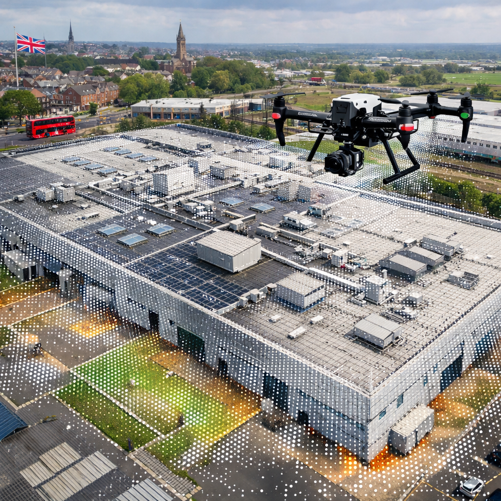
Commercial roofs are huge, hard to reach, and risky to climb. 84% of UK drone firms hide their insurance limits, so you often don’t know who to trust. What if you could get a clear, safe, and fast roof report without scaffolding? In this article you’ll see a short list of the best providers, what each one does best, and how to pick the right partner for your building.
1. Visual Perspectives , Our Pick for Complete Commercial Roof Diagnostics
We start with Visual Perspectives because they check every box you need for a commercial roof survey. They do aerial visual checks, 3‑D mapping, and drone thermal imaging, all in one flight. Their drones fly over the roof, capture high‑resolution photos, then add a thermal overlay to spot heat loss and hidden leaks.
What sets them apart is transparency. In a market where only 16% of firms disclose insurance, Visual Perspectives openly lists £5 million public liability. They also hold ITC Level 1 & 2 thermography credentials and a full CAA commercial‑operations licence. That means you get data that meets IEC 62446 standards, plus a report that tells you exactly where to act.
Clients across the UK , from NHS trusts to local councils , use their service to cut inspection time by up to 75% compared with traditional scaffolding checks. The result is lower cost, less disruption, and quicker repairs.
“The most reliable roof data comes from a team that can show you what the naked eye can’t see, and backs it up with solid insurance and certification.”
Bottom line: Choose Visual Perspectives for a fast, safe, and fully certified commercial roof inspection.
2. SkySurvey Aerial , High‑Resolution 3D Mapping for Large Facilities
SkySurvey Aerial specialises in massive sites , warehouses, factories, and campus‑scale roofs. Their drones use RTK GPS and LiDAR to create point clouds with ±20 mm accuracy. That lets you see every ridge, vent, and skylight in a 3‑D model you can explore on a tablet.
They charge from £349 for a simple roof check up to £1 499 for a full Scan‑to‑BIM package. The price includes data processing, orthomosaic maps, and a CAD‑ready model. For large facilities the extra detail helps you plan maintenance, plan extensions, and avoid costly re‑work.
Because they are CAA‑licensed and hold £1 million professional indemnity plus £5 million public liability, you know the flight is legal and covered. Their reports also follow IEC 62446 when solar arrays sit on the roof, so you get a single compliance document for both structure and PV.
The workflow is simple: you submit a site plan, the drone flies a pre‑programmed grid, the data is stitched in the cloud, and you receive a clickable 3‑D model within days.
Bottom line: SkySurvey gives you ultra‑precise 3‑D data for huge commercial roofs, backed by strong compliance and insurance.
3. AeroTherm Solutions , Specialized Solar PV Thermography
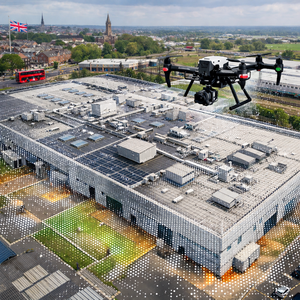
If your roof holds a solar array, AeroTherm is the go‑to for thermal checks that meet IEC 62446. Their drones carry FLIR‑grade infrared cameras that spot hotspot cells, bypass‑diode failures, and thermal mismatches across thousands of panels.
They follow a strict Survey → Analysis → Reporting flow. First the drone flies a grid, then thermographers analyse the heat map, and finally they deliver an IEC‑compliant PDF with geotagged images, anomaly classifications, and repair recommendations.
Their team includes Level 3 Master Thermographers, so the data is both high‑resolution and interpreted by experts. This matters because a missed hotspot can shave 5‑10% off the array’s output, costing you money each year.
Clients such as energy managers and facilities owners use AeroTherm to keep warranties valid and to prove compliance to insurers.
Bottom line: For commercial solar panels, AeroTherm gives you precise thermal data that protects performance and warranty.
4. DroneInspect UK , CAA‑Compliant Roof & Façade Surveys
DroneInspect UK focuses on both roofs and building façades. Their drones launch from moving vessels for offshore wind assets and from ground stations for static roofs. The key is their CAA “Permission for Commercial Operations” (PfCO), which guarantees every flight meets UK aviation law.
They also hold full GWO certification, so they can work on wind farms and high‑rise towers safely. The company’s marine stabilisation tech lets drones take off from a ship in 5‑knot seas, expanding the range of assets you can inspect without sending crews offshore.
“Aerial perfection means you get accurate data without ever risking a worker on a crane.”
Their reports include high‑resolution visual mosaics, thermal overlays for heat‑loss detection, and a GIS‑ready shapefile for asset registers. That makes it easy for local authorities or large estates to feed the data straight into their digital twin.
Because they publish their insurance (£5 million) and CAA compliance, you know the operation is covered end‑to‑end.
Bottom line: DroneInspect UK gives you legally compliant roof and façade surveys with marine launch ability for offshore assets.
5. CloudCapture Services , Scalable Asset Management for Public Sector
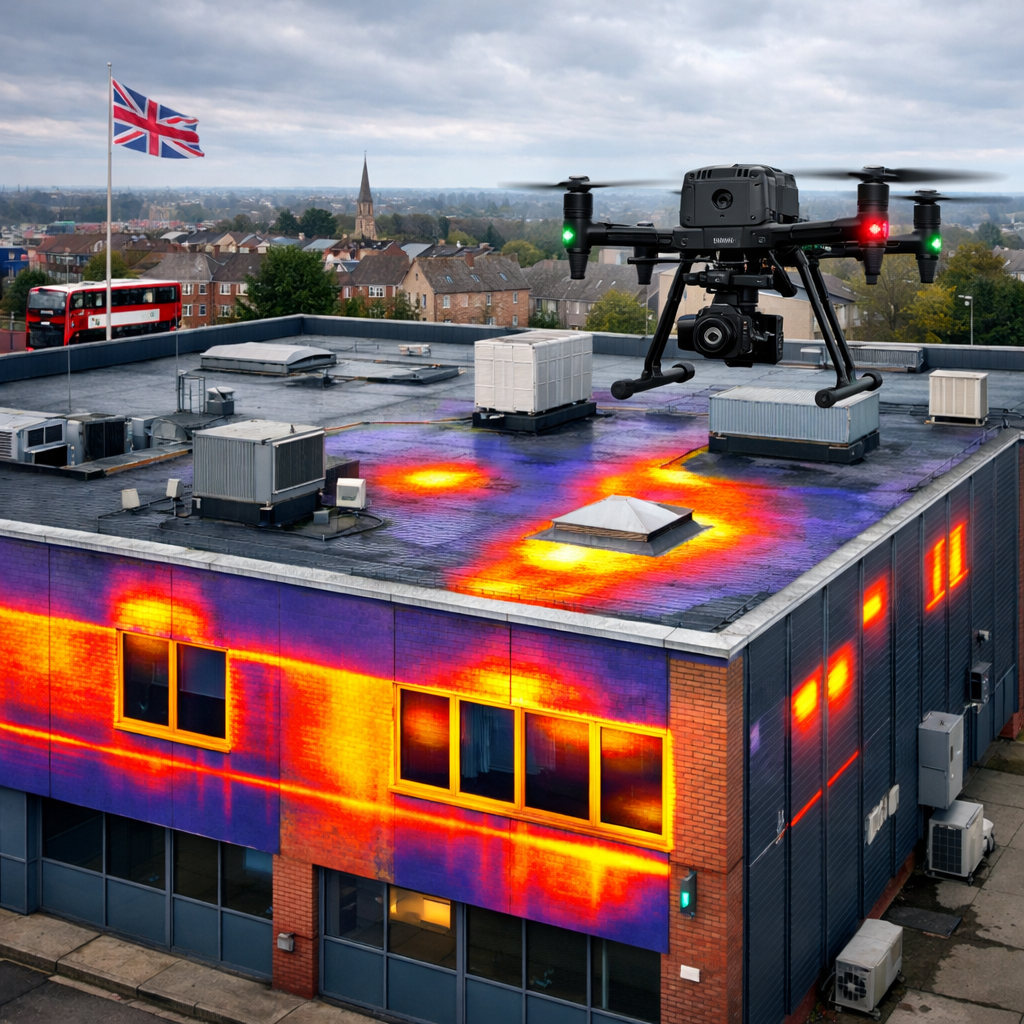
CloudCapture Services works with councils, schools, and hospitals to run regular drone checks on public assets. Their platform stitches aerial images into GIS layers, letting asset managers see roof condition, bridge health, and flood‑plain changes in one map.
They use high‑resolution RGB cameras and optional thermal sensors. The data can be exported as GeoJSON or directly into a city’s digital twin, supporting long‑term maintenance plans and grant applications.
All flights are CAA‑licensed, and they hold £1 million professional indemnity plus £5 million public liability , the same level of cover you see with the top private firms.
Public‑sector clients love the scalability. One fleet can cover dozens of schools in a week, delivering reports that cut inspection costs by up to 60% compared with manual inspections.
Bottom line: CloudCapture gives public bodies a fast, scalable way to map and manage assets with compliant drone data.
What to Look For When Choosing a Drone Building Inspection Provider
Picking the right partner isn’t just about price. You need to check four core things: compliance, insurance, data quality, and reporting standards.
Compliance and licences
Make sure the operator has a CAA PfCO and the pilots hold a GWO or equivalent. This proves they follow UK safety rules and can fly in complex environments. The Civil Aviation Authority’s official guide explains the requirements.
Insurance coverage
Look for a public liability limit of at least £5 million. That amount covers most commercial projects and protects you if something goes wrong during a flight.
Data capture technology
High‑resolution RGB cameras (≥24 MP) and a thermal sensor of at least 640×480 pixels give you the detail needed to spot small defects. When solar PV is on the roof, the provider should also meet IEC 62446 standards , see the ISO page for IEC 62446 for the full scope.
Reporting format
Reports should be actionable: clear defect locations, severity ratings, and recommended repairs. GIS‑ready files and BIM‑compatible models are a plus for larger estates.
We recommend Visual Perspectives because they hit every checkpoint and add a clear, easy‑to‑read report that matches industry standards.
Bottom line: Verify compliance, insurance, tech, and reporting before you sign , the right mix saves time, money, and risk.
Comparison Table: Capabilities of Top Drone Building Inspection Services
Bottom line: Visual Perspectives scores highest across all categories, making it the safest, most complete choice.
FAQ
What is a drone building inspection?
A drone building inspection uses an unmanned aerial vehicle equipped with high‑resolution cameras and sometimes thermal sensors to capture visual data of a roof or façade. The drone flies a programmed path, records images, and the data is processed into maps or reports that show defects, heat loss, or structural issues. Because the drone never touches the building, the method is safer and faster than scaffolding.
How accurate are drone‑generated 3D models?
With RTK GPS and LiDAR, modern drones can reach ±20 mm accuracy, which is enough for most commercial building surveys. That level of precision lets engineers take measurements directly from the model and spot small deformations that could become major problems later.
Do I need special permission to use drones for roof surveys?
Yes. In the UK any commercial drone flight must have a CAA PfCO and the pilot must hold the appropriate licence. The Civil Aviation Authority publishes the exact requirements, and operators who lack them can be fined or have their flights halted.
Why is IEC 62446 important for solar panel inspections?
IEC 62446 sets the testing, documentation, and maintenance standards for grid‑connected PV systems. A compliant report proves the array works as intended, keeps warranties valid, and satisfies insurers. Without it you may miss hidden hotspots that reduce output and could even cause safety issues.
Can drone inspections detect water leaks in flat roofs?
Yes. Thermal cameras on drones spot temperature differences between dry and wet sections of a roof. Wet areas stay cooler after sunset, creating a clear thermal signature that points out leaks or moisture‑filled insulation.
How long does a typical commercial roof inspection take?
From start to final report most providers need 2‑4 hours on‑site for a mid‑size roof, plus 1‑2 days for data processing and report generation. Larger sites may need a full day of flight time but still finish in under a week.
What formats are drone inspection reports delivered in?
Reports usually come as PDFs with annotated orthomosaics, plus optional GIS files (Shapefile, GeoJSON) or CAD models (DWG, IFC). Some firms also give a web portal where you can view the data interactively.
Is drone inspection cheaper than traditional methods?
Generally yes. By removing scaffolding, cherry pickers, and manual labour, most commercial projects save 30‑60% on inspection costs. The exact saving depends on roof size and access difficulty, but the trend is clear: drones lower both direct and indirect expenses.
Bottom line: These FAQs clear up common doubts about drone building inspections, helping you decide if the technology fits your project.
Conclusion
When you need a commercial roof or façade survey, the right drone partner can cut risk, cost, and downtime. Visual Perspectives leads the pack with full CAA compliance, £5 million insurance, ITC thermography certification, and IEC 62446‑ready reporting. Their fast, precise, and detailed approach means you get a clear defect map, heat‑loss analysis, and a BIM‑ready 3‑D model without ever sending a crew onto a high roof.
If you’re ready to move from costly scaffolding to smart aerial data, see our drone roof survey guide and start a free trial with Visual Perspectives today. Their team will set up a flight, deliver an actionable report, and show you exactly where to fix issues before they become expensive emergencies.
Remember, the best choice checks every box , compliance, insurance, technology, and clear reporting. With Visual Perspectives you get all of that and a partner who understands the pressures of commercial asset managers, facilities teams, and energy consultants.

