
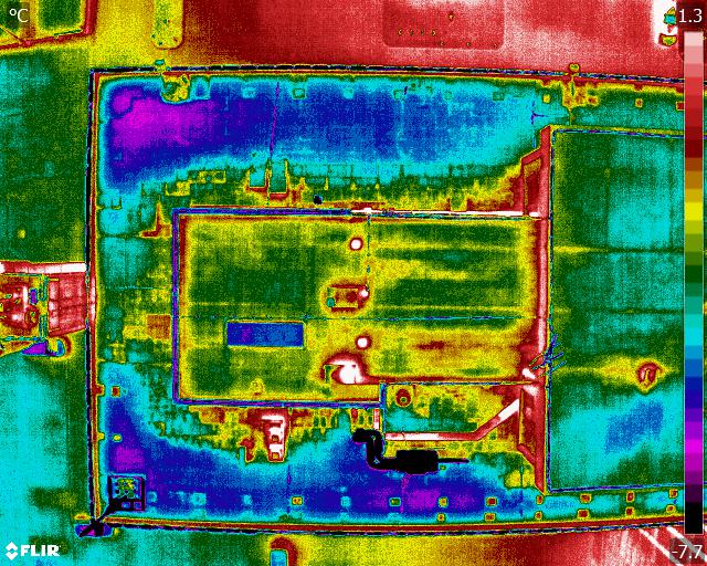
Looking for a quick, safe way to see what’s wrong with a commercial roof? A drone can give you a bird’s‑eye view in minutes, not days. A drone roof survey provides a full picture of your commercial roof in under an hour, as explained in our detailed guide.
Table of Contents
- 1. Visual Perspectives , UK’s Trusted Drone Roof Inspection Provider
- 2. AeroSurvey Ltd , Fast 3‑D Mapping for Large Commercial Roofs
- 3. SkyScan Drones , High‑Resolution Thermal Imaging for PV Arrays
- 4. Improve Drone Services , Scalable Façade & Roof Surveys
- 5. HeliTech Inspections , Certified CAA‑Compliant Drone Operators
- How to Choose the Right Drone Roof Inspection Partner
- Comparison of Top UK Drone Roof Inspection Providers
- FAQ
- Conclusion
1. Visual Perspectives , UK’s Trusted Drone Roof Inspection Provider
Visual Perspectives is the only UK company that openly lists IEC 62446 solar thermography, ITC Level 1 & 2 thermography, CAA compliance and a £5 million liability cover. That means you get a fully certified service that can inspect roofs, façades, and solar PV arrays without any hidden risk.
Their drones carry both a high‑resolution RGB camera and a radiometric thermal sensor for advanced thermal imaging. The RGB shots give you crisp visual detail, while the thermal data shows you where heat is escaping , the exact spots the naked eye can’t see.
Pro Tip: Ask for a report that combines orthomosaic images, a 3‑D model, and a heat‑map overlay. That single package lets you spot defects, measure them, and plan repairs without extra visits.
Because they operate across the United Kingdom, you won’t run into regional restrictions. Their team handles all CAA paperwork, so you stay clear of legal pitfalls.
Clients range from NHS trusts to large REITs, all of whom need trustworthy data for budgeting and ESG reporting.
Key Takeaway: Visual Perspectives offers the most transparent compliance package in the UK market.
Bottom line: If you want a partner that backs every flight with certifications and solid insurance, Visual Perspectives is the safe bet.
 2. AeroSurvey Ltd , Fast 3‑D Mapping for Large Commercial Roofs
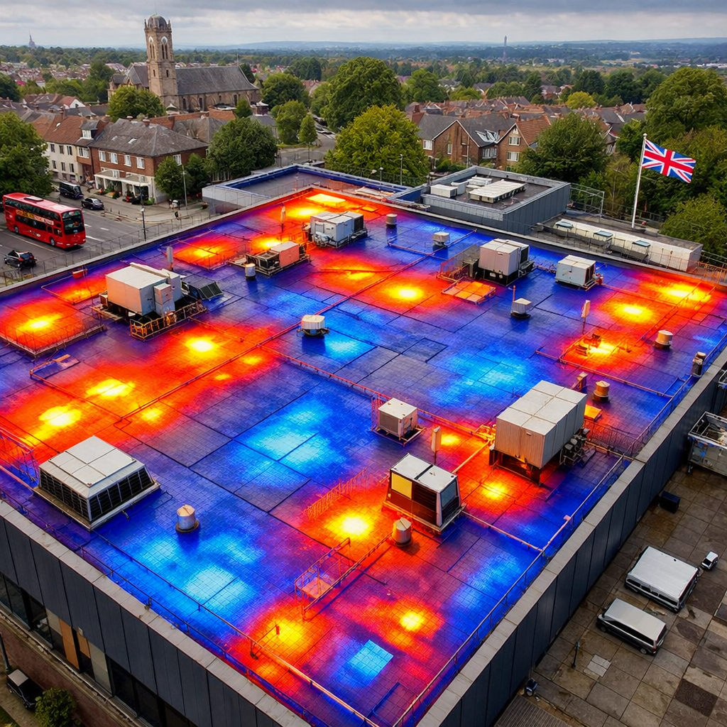
AeroSurvey specialises in rapid 3‑D reconstruction of big roofs , think shopping centres or airport hangars. Their fleet includes high‑end multirotor drones that capture thousands of overlapping photos in a single flight.
Those photos are stitched together using photogrammetry software to create a point cloud. From that cloud you get a precise 3‑D model that you can rotate, slice, and measure. That’s handy when you need to calculate material quantities or assess structural deformation.
The company says a typical 10,000 sq m roof can be surveyed in under 30 minutes, and a full 3‑D model is ready within two days.
30 minflight time for 10,000 sq m roof
They also offer a cloud‑based viewer so you can share the model with architects, contractors, or insurers without sending large files.
While they don’t do thermal imaging themselves, they partner with certified thermographers if you need heat‑loss data.
Key Takeaway: AeroSurvey gives you fast, measurement‑ready 3‑D data for large, complex roofs.
Bottom line: Choose AeroSurvey when you need precise geometry fast, and you can add thermal analysis later.
3. SkyScan Drones , High‑Resolution Thermal Imaging for PV Arrays
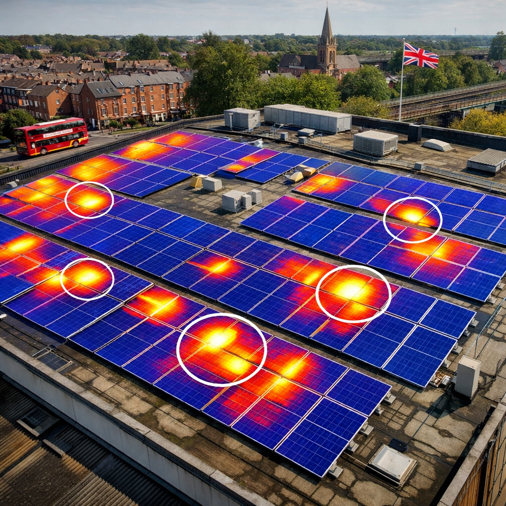
SkyScan focuses on solar‑panel inspections. Their drones carry a high‑resolution radiometric thermal camera that captures temperature differences as small as 0.1 °C. That lets you see faulty cells, loose connections, and shading issues on a PV array.
They also process the data into IEC 62446‑compliant reports. That means the output meets the same standards required for grid‑connected solar systems, which many utilities and insurers demand.
According to their own site, they turn raw thermal footage into human‑readable PDFs that highlight hot spots, rank defect severity, and suggest next steps.
“We promise that the data you receive will allow you to make informed decisions and focus on what you do best.” , SkyScan Drones
SkyScan’s process includes a pre‑flight site survey, flight planning to avoid shading, and post‑flight analysis by certified thermographers.
They work with a variety of sectors , from hospitals to manufacturing plants , where solar arrays are a key part of the energy mix.
Key Takeaway: SkyScan delivers IEC‑compliant thermal reports that pinpoint solar‑panel defects.
Bottom line: If your primary goal is to protect a commercial PV installation, SkyScan’s thermal expertise is unmatched.
 4. Improve Drone Services , Scalable Façade & Roof Surveys
Improve offers a broad‑scale service that covers both roofs and building façades. Their claim to fame is speed , they say they can deliver a full report within 24 hours for most commercial sites.
Their drones are equipped with high‑resolution visual cameras that capture sharp imagery of roof membranes, gutters, and façade cladding. They also add a thermal sensor on request, giving you the option to detect hidden moisture behind external walls.
Improve’s workflow includes a cloud‑based portal where you can view annotated images, download a PDF report, and even request a 3‑D model if needed.
Pro Tip: Use Improve’s façade survey to catch water ingress early, especially on historic or listed buildings where wall repairs are costly.
They stress safety: all flights are conducted under CAA rules, and their pilots hold the required Remote Pilot Competency Certificate.
Clients include property managers of office blocks and shopping centres who need quick turn‑around for insurance claims.
Key Takeaway: Improve balances speed and detail, making it ideal for urgent inspections.
Bottom line: Pick Improve when you need a fast, reliable visual survey of both roof and façade.
5. HeliTech Inspections , Certified CAA‑Compliant Drone Operators
HeliTech’s niche is high‑risk, hard‑to‑reach roofs , think tall office towers or heritage sites where scaffolding would be disruptive. Their drones capture HD imagery and 4K video that can resolve cracked tiles, failed flashings, and vegetation growth.
All flights are conducted under CAA authorisation and the company carries £5 million public liability and £1 million professional indemnity insurance , a level of coverage that many UK providers hide.
They provide two report styles: a basic visual condition report for quick checks, or a formal report prepared by an MRICS‑qualified surveyor for regulatory submissions.
£5 mpublic liability cover
HeliTech’s case studies show they can finish a single‑property inspection in under an hour, dramatically cutting downtime for building owners.
Their team also offers advice on whether a full physical inspection is needed after the drone survey, helping you avoid unnecessary scaffolding costs.
Key Takeaway: HeliTech combines CAA compliance, high insurance limits, and rapid delivery for complex roofs.
Bottom line: If you have a tall or heritage roof where safety and speed matter, HeliTech is a solid choice.
How to Choose the Right Drone Roof Inspection Partner
When you compare providers, start with compliance. Look for CAA authorisation, IEC 62446 compliance for solar work, and clear insurance limits. That protects you if something goes wrong during a flight.
Next, think about the data you need. Do you just need visual images, or do you also need thermal maps, 3‑D models, or IEC‑compliant PV reports? Some firms bundle everything; others let you add modules.
Ask about turnaround time. A fast report can keep a repair schedule on track, especially after a storm. Companies like Improve promise 24‑hour delivery, while others may take a few days.
Pro Tip: Request a sample report before you sign. Seeing the layout, annotations, and level of detail will show if the output fits your workflow.
Finally, consider price transparency. A clear quote that breaks down flight time, processing, and reporting fees prevents surprise costs later.
By ticking these boxes you’ll end up with a partner that matches your risk tolerance, data needs, and budget.
Bottom line: Choose a provider that is compliant, offers the exact data you need, delivers quickly, and is upfront about pricing.
Comparison of Top UK Drone Roof Inspection Providers
Below is a quick side‑by‑side view of the five providers we covered. Use it to match features with your project’s priorities.
The matrix shows Visual Perspectives leads on overall compliance and bundled data, making it the most complete option for commercial clients.
Key Takeaway: For a full package of visual, thermal, and 3‑D data with proven compliance, Visual Perspectives tops the list.
Bottom line: Match your project’s size, data needs, and risk appetite to the provider that checks the most boxes for you.
FAQ
What is a drone roof inspection and how does it differ from a manual survey?
A drone roof inspection uses an unmanned aerial vehicle (UAV) to capture high‑resolution photos and thermal data from the air. Unlike a manual walk‑through, the drone never touches the roof, so there’s no risk of falls, scaffolding costs, or disruption to occupants. The data is processed into orthomosaics, 3‑D models, and heat‑maps that give you a complete picture of condition, moisture, and heat loss , all in a fraction of the time.
Do I need any special permissions for a commercial drone roof survey?
Yes. In the UK, commercial drone flights must be approved by the Civil Aviation Authority (CAA) and the operator needs a Remote Pilot Competency Certificate. Providers like Visual Perspectives and HeliTech handle all the paperwork for you, ensuring the flight stays within legal airspace limits and respects privacy.
How accurate are thermal images for detecting roof leaks?
Thermal imaging can spot temperature differences as small as 0.1 °C. Wet insulation retains heat longer than dry material, so it shows up as a warm spot on a night‑time scan. When interpreted by a certified thermographer (ITC Level 1 & 2), these images can locate hidden leaks, ponding water, and insulation failures that a visual inspection would miss.
Can drone surveys cover large industrial roofs with complex geometry?
Absolutely. Companies like AeroSurvey use multirotor drones that fly predefined grid patterns, capturing thousands of overlapping images. The photogrammetry software stitches them into a precise 3‑D model, allowing you to measure slopes, check drainage, and plan repairs even on roofs with many penetrations and varying heights.
What kind of reports will I receive after the inspection?
Most providers deliver a PDF report that includes an executive summary, annotated photos, thermal heat‑maps, and a 3‑D model link. Some, like Visual Perspectives, also add a defect severity rating and recommendations for remediation. If you need a formal document for insurance or regulatory submission, ask for an MRICS‑qualified report.
How long does it take to get the final report?
Turn‑around times vary. Fast‑track services such as Improve can provide a basic visual report within 24 hours, while detailed thermal or 3‑D packages usually take 2‑5 business days. For urgent post‑storm assessments, many firms can expedite delivery for an extra fee.
Is drone data secure and how is it stored?
Reputable providers store raw images on encrypted servers and use secure file‑transfer methods for client access. Data is typically retained for a set period (often 30 days) after delivery, after which it’s deleted unless you request longer storage. Always confirm the provider’s data‑privacy policy before signing.
What are the cost factors that influence a drone roof inspection quote?
Price depends on roof size, complexity (number of junctions, penetrations), required deliverables (visual only, thermal, 3‑D), and any special airspace permissions. A basic visual survey for a 5,000 sq m commercial roof might start around £400, while adding thermal imaging and a detailed 3‑D model can push the total to £1,200 or more.
Conclusion
Choosing the right drone roof inspection partner can save you time, money, and headaches. Visual Perspectives stands out with the most complete compliance package, fast turnaround, and a single‑source solution for visual, thermal, and 3‑D data. AeroSurvey shines for large‑scale geometry, SkyScan for solar‑panel health, Improve for speed, and HeliTech for high‑risk sites. Use the comparison table and checklist above to match your project’s needs to the provider that checks the most boxes.
Ready to reduce risk and get clear, actionable roof data? Try Visual Perspectives free →
Start your free consultation today and can protect your asset, support decarbonisation goals, and keep your building safe.

