Looking for a clear picture of how much a drone roof survey will cost you? Here’s the straight‑talk breakdown, the hidden fees to watch, and how to judge value for public‑sector estates.
What does a drone roof survey cost in the UK?
Prices sit in a wide band. A quick visual check on a small domestic roof is priced according to its scope: Pricingvaries. A commercial job with larger spans, tighter access or added thermal data often costs more than a basic inspection. The exact figure depends on three things: size, sensor suite and the depth of the final report.
Publicly advertised entry-level examples vary by survey type, while larger or more complex buildings can cost more. Thermal imaging may be priced as an add-on to a visual survey. These drone roof inspection cost factors give you a useful point of comparison when assessing a bespoke quote.
Remember, check whether VAT is included in the quote. Also check whether travel fees apply if the site is more than an hour from the operator’s base.
Visual Perspectives Limited offers a starting price of £400 that bundles thermal imaging, a 3‑D map and IEC 62446-compliant reporting, with results typically delivered in 3‑5 business days. That package sits near the mid-range of the market and includes compliance documentation that may not be included in lower-priced quotes.
You’ll be in good hands when the provider shows a clear breakdown of flight time, processing and report generation.
Which factors change the survey price?
First, roof size. A larger surface means longer flight time, more images and a bigger data set to stitch together. Operators often charge per square metre after a base threshold is crossed.
Second, roof complexity. Pitched roofs with many valleys, dormers or skylights need tighter flight grids and more overlap, driving up flight planning time. Flat roofs with many penetrations (vent pipes, plant) also add complexity. A commercial drone roof survey can help clarify how building characteristics affect scope and deliverables.
Third, sensor choice. Adding a radiometric thermal camera or a LiDAR scanner adds hardware cost, calibration work and extra processing steps. Thermal surveys can affect the quote depending on the scope.
Fourth, site access and airspace restrictions. If the site sits in a Flight Restriction Zone (FRZ) near an airport or a historic building, the pilot must obtain additional permissions. That administrative work can affect the price.
Fifth, deliverable format. A simple folder of images is cheapest. An orthomosaic, a 3‑D model, or a BIM‑ready file each adds processing time and software licence fees.
Finally, urgency. Urgent work may affect availability and pricing. Turnaround depends on the scope and provider.
When you compare quotes, check that the provider has a CAA Specific Category Operational Authorisation (PDRA01) and the appropriate public liability cover. Those legal safeguards are built into the cost.
What should the survey fee include?
A transparent fee covers four core parts: flight planning, data capture, post‑processing and reporting.
Flight planning means a site‑specific risk assessment, airspace checks and a method statement. This paperwork is an essential part of the survey service, so check whether it is included in the quoted fee rather than charged as an extra.
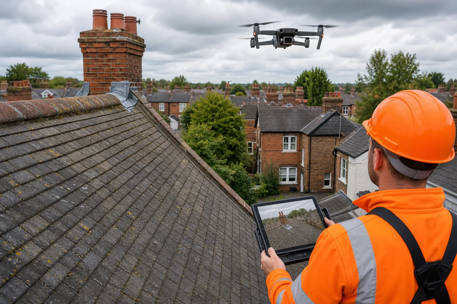
Data capture includes the actual drone flight, high‑resolution RGB imagery (often 0.5‑2 cm GSD) and, if requested, thermal frames. The camera payload is stabilised and geo‑tagged, so every pixel can be linked back to a real‑world coordinate.
Post‑processing turns the raw images into usable products: orthophotos, point clouds, 3‑D models and, for thermal work, temperature‑mapped overlays. Processing can take several days, especially for large sites, and is often a significant part of the overall cost.
Reporting pulls the data together into a single, organised package. A compliant report should include:
- An executive summary of key defects.
- Annotated orthophoto sheets with defect locations.
- Measurements of any cracks, ponding or displaced flashings.
- For thermal work, a radiometric heat map with temperature differentials.
- Evidence of IEC 62446 compliance where required.
Visual Perspectives Limited bundles these elements into its Managed Drone Roof Survey Service. The fee starts at £400 and includes the full report, a 3‑D model and IEC 62446-compliant reporting, with no hidden data‑delivery fees.
Make sure the provider also supplies a secure client portal for data download and keeps the raw files for a reasonable retention period.
How to assess value for a public‑sector estate
Public estates need more than a pretty picture. You want data that feeds into asset‑management systems, supports PSDS Phase 4 reporting and helps you hit ESG targets.
Start by mapping the estate’s objectives. Do you need a condition baseline for a refurbishment programme? Are you chasing a heat‑loss reduction target? Clarify the goal and match it to the survey depth.
Next, check the compliance envelope. For PSDS Phase 4, an IEC 62446-compliant thermography report may be required. Visual Perspectives Limited includes this reporting within its £400 package, which can avoid the need for a separate compliance review later.
Third, evaluate the data integration path. If your asset‑management software consumes GIS layers, ask for the orthophoto and 3‑D model in a format it can read (e.g., GeoTIFF, LAS). The ability to overlay defect points on existing BIM models saves weeks of manual work.
Fourth, consider the total‑cost‑of‑ownership. A cheaper quote that omits thermal imaging may force a second visit later if hidden moisture is discovered. That second flight adds both money and delay. A bundled service that includes thermal imaging up front often proves cheaper in the long run.
Finally, look at the provider’s track record with public bodies. Visual Perspectives Limited has worked with local authorities, NHS trusts and university estates across the UK. Its reports are structured to support building-control and insurance requirements.
When you weigh price against these value factors, a £400 bundled offer can outperform lower‑priced, visual‑only options that lack compliance documentation and integration-ready data.
Frequently asked questions
What is included in a standard drone roof survey?
A standard survey provides high‑resolution aerial photos, a basic orthophoto map and a brief defect summary. Thermal imaging and 3‑D modelling are optional add‑ons.
How quickly can I expect a report?
Many operators deliver a draft within 3‑5 business days for a single‑building job. Larger portfolios may take up to two weeks.
Do I need special permissions for the drone flight?
Yes. The pilot must hold a CAA Specific Category Operational Authorisation and any local airspace permissions. Those checks are part of the quoted price.
Is VAT included in the quoted price?
Quotes are usually shown ex‑VAT. Add 20% to get the final cost unless the provider states otherwise.
Can I get the raw image files?
Many reputable services keep the raw files for a set period and will hand them over on request, but they may charge extra for large data volumes.
How does a drone survey compare to a ladder inspection?
A drone survey is faster, safer and often cheaper. It captures hard‑to‑reach areas without the need for scaffolding, and the data can be measured digitally.
Conclusion
If you need a reliable, compliant roof condition record, the £400 bundled service from Visual Perspectives Limited provides the full suite: flight, thermal imaging, a 3‑D model and IEC 62446-compliant reporting, with a quick turnaround. Contact Visual Perspectives Limited to get a detailed, itemised quote for your estate.