A topographic survey can look like a simple map, but its price depends on the detail and accuracy your project needs. The topographic survey cost in the UK is shaped by site size, access, ground conditions, survey method and the final files you ask for.
We analyzed 36 comments from YouTube and Reddit about topographic Survey costs in the UK and found that 25% mentioned survey pricing and fees.
Here’s what the survey captures, how fees are built up, and what to check before you accept a quote.
What a Topographic Survey Covers and When You Need One
A topographic survey records the shape of a site and the visible features on it. The surveyor measures ground levels and the position of features such as buildings, paths, walls, trees, road edges and above-ground services. The result gives designers a measured picture of existing site conditions.
You may need one before a building extension, a new access route or a drainage design. Architects and engineers use levels to understand slopes and changes in height. A site manager may need a record of existing features before work starts, so later changes can be checked against the original drawing.
The right survey type depends on the question you need answered. A topographic survey maps land and its visible features. A measured building survey records a building’s size and form. A boundary survey has a different purpose: it looks at the position of property boundaries. These surveys can overlap in scope, but one is not a substitute for another.
| Survey type | What it records | Useful when you need to |
|---|---|---|
| Topographic | Ground levels and visible site features | Plan layout, grading or drainage |
| Measured building | Building dimensions and form | Design changes to an existing building |
| Drone mapping | Aerial imagery and mapped surfaces | Capture broad areas or hard-to-reach ground |
| Complex surface detail | Visible surfaces and complex shapes | Record complex shapes or structures |
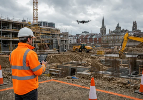
Survey methods can be combined. A drone can cover an open area quickly, while ground measurements may still be needed for detail beneath trees or beside structures. RICS explains that boundary questions need care because a topographic plan and the legal position of a boundary are not the same thing. See its guidance on topographic surveys and boundary disputes.
Typical UK Topographic Survey Costs and What the Fee Includes
There’s no single fee that fits every topographic survey. A small, open plot with a clear brief takes a different amount of work from a large, overgrown site with many features to capture. Quotes should reflect the survey area, required detail, field conditions and the outputs you need.
Think of the fee as several work stages rather than one block of “survey time”. A quote may include:
- Preparing the job, reviewing your boundary plan and agreeing the scope.
- Travel and time on site to measure the agreed area.
- Data processing, checks and drawing production.
- Any agreed control measurements, extra detail or reporting.
- Delivery of files in the formats named in the brief.
Ask the surveyor to state what each part covers. This helps you spot whether two quotes include the same survey area and level of detail. Confirm the drawing scale, units, coordinate reference system and whether both CAD and PDF files are included. If you need a 3D model or other data for design software, name that before work starts.
Also check how the quote handles travel, access arrangements and changes to the brief. A fee based on a clear site plan and agreed outputs is easier to compare than a headline figure without scope. For a related cost breakdown, our guide to measured building survey costs in the UK explains why building surveys need a different brief.
Why Site Conditions and Survey Methods Change the Price
Site area matters, but it isn’t the only cost driver. A larger site can take longer to walk and measure. Yet a small site with tight access, dense planting or many level changes may also need extra field time and more checks.
Vegetation can block lines of sight and hide ground features. Fences, parked vehicles or restricted work hours can affect where a surveyor can set up. Steep ground may need more measurement points to describe changes in level clearly. If the survey needs features beyond the main plot, such as the road edge or adjoining access, those limits should appear in the brief.
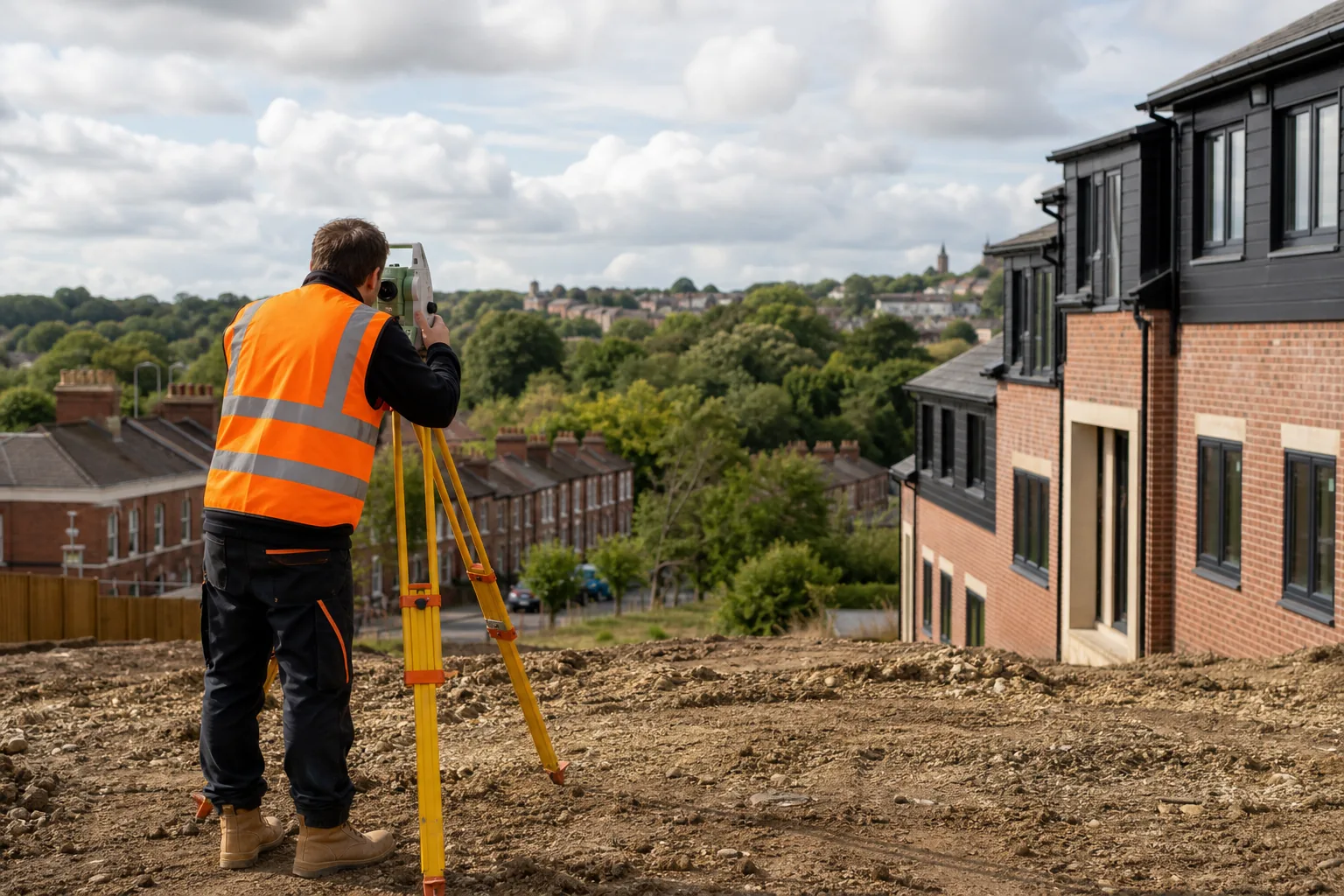
Ground-based methods such as a total station or GNSS receiver suit many sites. A total station measures angles and distances from set points. GNSS uses satellite positioning, but conditions on site can affect where it is suitable. Image-based mapping can turn overlapping images into mapped data; LiDAR uses laser measurements to capture surfaces. The tools don’t remove the need to plan what must be measured and check that the resulting data suits the design task.
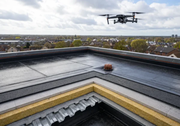
Aerial mapping can help cover broad or awkward areas, but it may not capture every feature hidden by tree cover or structures. That can mean adding ground measurements. The scope, accuracy requirement and intended outputs should guide the method, not the novelty of the equipment. Our guide to drone mapping services sets out where aerial data can fit into site work.
Visual Perspectives Limited provides managed drone-based aerial inspections across the UK, including high-resolution 3D mapping. That work can add aerial context to a site assessment, but the required ground survey should still be specified separately. For aerial surveys, the phrase “quickly, precise, and detailed” should never replace a clear statement of coverage and accuracy.
How to Commission a Survey and Compare Quotations
Start with the decision the survey must support. A design team working on a new building may need contours and visible features across the plot. A drainage review may need closer level detail along a route. The survey brief should say what the data is for, not only ask for “a topographic survey”.
- Set the site area. Send a plan that marks the survey boundary. Mark adjoining areas that affect access or design.
- List the features. State which visible items matter, such as trees, walls, paths or road edges. Mention known services separately and clarify whether you need those surveyed or shown from existing records.
- Agree the level of detail. Describe the level information and accuracy your design team needs. Ask the surveyor to confirm how it will be measured and reported.
- Name the outputs. Specify file types, drawing scale, units and coordinate system. Say if the drawing must work with existing CAD or GIS data.
- Check the quote scope. Confirm travel, access needs, fieldwork, processing and any additional reporting. Ask how a change to the boundary or deliverables would affect the fee.
Plan ahead if your survey is tied to a design handover or planning date. Ask for the expected site date and delivery date, then check what could delay either. A quote should make clear what happens if the site is inaccessible or the surveyor finds that more detail is needed.
When comparing surveyors, ask who will carry out the work and who will check the drawing. Ask how they will handle obstructed areas. Request a sample drawing with sensitive details removed, if one is available, so your design team can see how levels and features are presented.
Visual Perspectives Limited can discuss whether drone mapping would add useful aerial context to your site brief. That’s a separate consideration from appointing a surveyor to capture the full ground-level detail your design requires.
Reading the Drawing: Levels, Standards and Boundaries
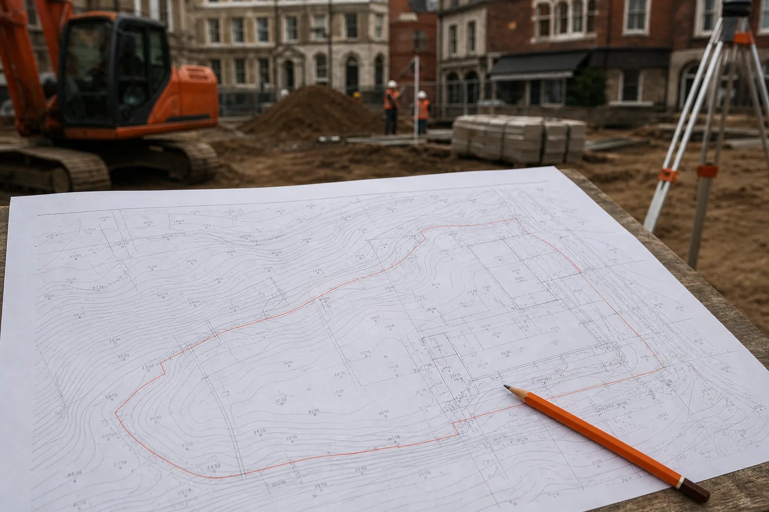
Before you use a survey drawing, check the notes and legend. Look for the drawing scale, units, date of survey and coordinate reference system. These details help your project team line the survey up with other plans and avoid treating a measurement as if it used a different reference.
Spot heights show measured levels at specific points. Contour lines join points of equal height, which makes the shape of the land easier to read. Close contours usually show a sharper change in level than widely spaced lines. Use the stated contour interval and spot heights together; the lines alone may not show every small dip or ridge.
Check which features were observed on site and which came from other information. A topographic survey normally records visible features, but it does not prove the position of buried services. Likewise, a line drawn at a boundary should not be treated as a legal boundary determination unless the brief and survey work specifically cover that question.
For a public estate or construction project, agree the drawing conventions with the design team before commissioning. Ask for clear layer names so the CAD drawing can be reviewed without guesswork. If the project needs a model or GIS data, confirm that the coordinate system and file format match the wider project.
Frequently Asked Questions
How much does a topographic survey cost in the UK?
The price depends on the site and the survey brief, so a single figure won’t fit every job. Site size, access, vegetation, required detail and file formats all affect the work. Share a marked-up boundary and a list of outputs when asking for a quote. That gives the surveyor enough scope to price the same job you need.
What affects the cost of a topographic survey?
Site area and complexity are major factors. Dense vegetation, steep slopes, restricted access or extra features can add fieldwork and processing. The survey method also matters, especially if aerial capture needs ground measurements to fill gaps. Deliverables affect the fee too, so state whether you need a PDF, CAD drawing or another data format.
Does a drone survey replace a topographic survey?
Not in every case. A drone can capture aerial images and mapped surface data over a broad site, but trees or structures may hide ground details. A project may need ground measurements alongside aerial mapping. Set the required features and accuracy first, then ask whether the proposed method can capture them.
What should a topographic survey quote include?
A useful quote should define the survey boundary and the features to be measured. It should also describe the method, expected outputs and any access assumptions. Check whether travel, data processing and drawing production are included. Ask for the delivery format and timing in writing, so your team knows what it will receive and when.
Does a topographic survey show legal boundaries?
A topographic drawing can show a boundary line for context, but that does not by itself establish the legal boundary. If a boundary’s position is in question, make that a separate part of the brief. Tell the surveyor what decision the boundary information must support, and ask what work is covered.
Conclusion
Ask for a quote built around your site boundary, required detail and intended file formats, rather than choosing on headline price alone. If aerial mapping may help your site assessment, speak with Visual Perspectives Limited about whether its drone mapping service fits the brief.