
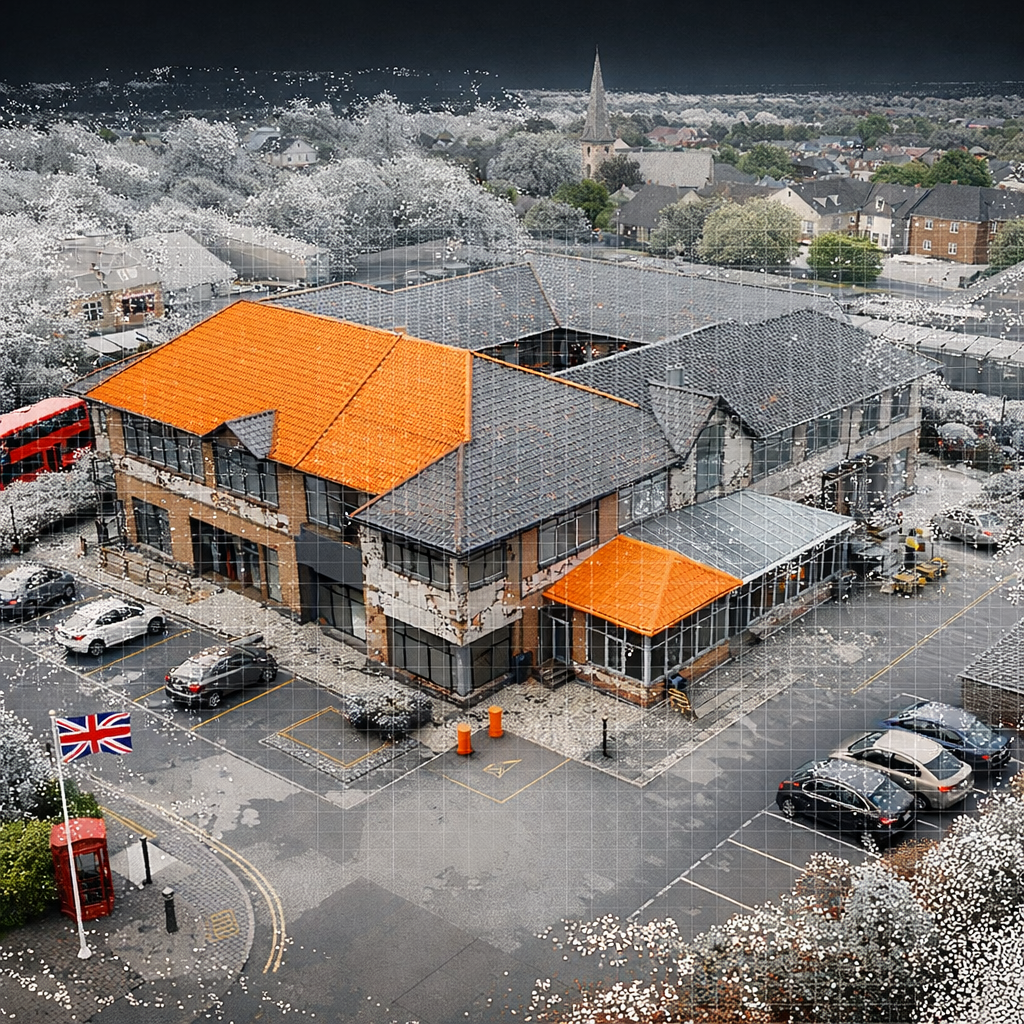
Every commercial building hides a lot of detail behind walls, roofs and façades. If you miss those details, you risk costly repairs, safety issues, and missed decarbonisation targets. In this guide we break down what a measured building survey actually is, how drone tech and thermal imaging raise the bar, and why asset managers should care.
What Is a Measured Building Survey?
A measured building survey records the exact dimensions and geometry of an existing structure. It captures walls, beams, columns, doors, windows and even hidden services. The output can be 2‑D CAD drawings, point clouds, or full 3‑D models that feed into BIM workflows.
Surveyors use laser scanners or photogrammetric drones to gather millions of points. Those points form a “point cloud” that a computer stitches into a mesh. The mesh can then be exported as a CAD file, a GIS layer, or a virtual walkthrough.
Why do you need one? If you plan a renovation, you need to know where load‑bearing walls sit. If you manage a historic building, you need a record for preservation. If you run a portfolio, you need accurate data for condition reports and insurance assessments.
Measured surveys also help with compliance. Many building regulations require documented evidence of existing conditions before major works. A well‑crafted survey can be the legal backbone for a planning application.
When a survey includes high‑resolution aerial images, you get a visual record that shows façade details that a ground‑level camera would miss. That visual record becomes part of the asset’s digital twin.
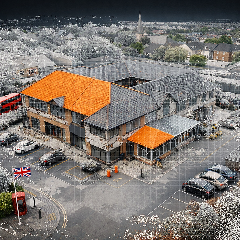
For more on how point clouds turn into usable CAD files, see the photogrammetry entry on Wikipedia.
How Drone Technology Enhances Measured Surveys
Drones fly above roofs and façades, capturing overlapping photos at a set altitude. Those images feed a photogrammetry engine that builds a dense 3‑D model in minutes. Compared with a ground crew, a single drone pilot can cover a 40‑acre site in under an hour.
Key to accuracy is the flight plan. Operators set a ground sample distance (GSD) that controls pixel size. A typical GSD of 2 cm gives centimeter‑level detail. Overlap settings of 75 % forward and 65 % side ensure enough common features for the software to stitch the model.
Ground control points (GCPs) anchor the model to real‑world coordinates. A survey may use five to ten GCPs placed around the building perimeter. Each GCP is surveyed with an RTK GPS receiver, giving sub‑centimeter precision.
Because drones stay aloft, they avoid the need for scaffolding, rope access or lane closures. That reduces safety risk and cuts labour costs dramatically.
Our own pilots follow CAA‑approved procedures. The Civil Aviation Authority (CAA) sets the rules for commercial UAV flights in the UK, covering altitude limits, line‑of‑sight requirements and airspace permissions.
Below is a short video that shows a typical drone roof inspection in action.
When the data lands on our servers, we run a quality‑check routine. We compare model‑derived elevations to a handful of field‑check points. If the deviation is under 3 cm, the model is approved for design work.
Thermal Imaging & IEC 62446 in Commercial PV Roof Surveys
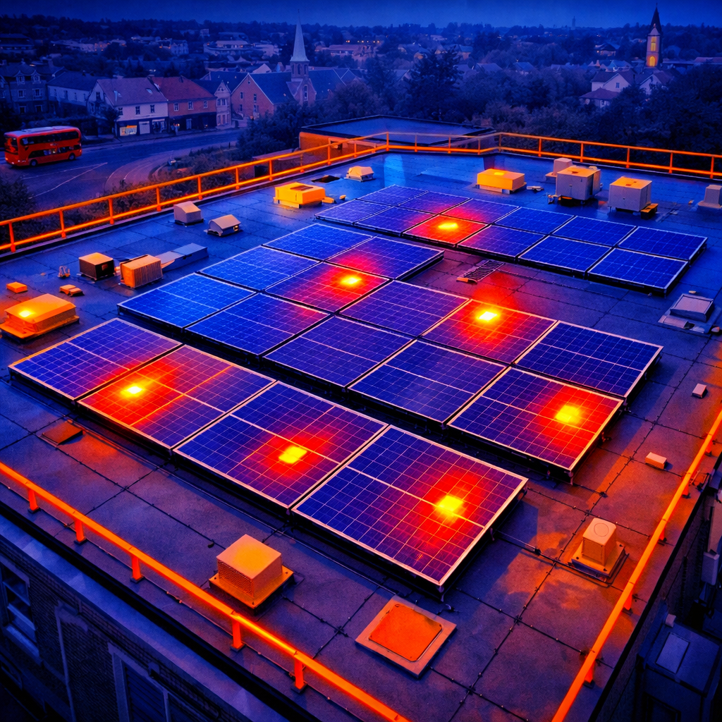
Thermal imaging adds a layer of insight that visual cameras cannot provide. An infrared camera records temperature differences across a roof surface. Hot spots can indicate faulty PV modules, loose connections or shading issues.
IEC 62446 is the international standard that defines how PV system testing, documentation and maintenance should be performed. Compliance means the survey meets a globally recognised quality bar, making the data trustworthy for investors and regulators.
When we fly a thermal‑equipped drone over a solar array, the camera captures a thermal map in real time. The software tags each module, flags temperatures that exceed the expected range, and produces an IEC‑compliant report.
For a deeper dive on the standard, see the IEC 62446 page on Wikipedia. It explains the testing steps, documentation format and acceptance criteria.
Key Benefits for Asset Managers and Facilities Teams
Asset managers need data that lets them plan maintenance, budget repairs and meet ESG targets. A measured building survey provides that data in a format that integrates with existing FM software.
First, it reduces risk. By spotting a loose cladding panel before it falls, you avoid a health‑and‑safety incident and the associated insurance claim.
Second, it saves money. A thermal map can point out a single poorly insulated wall. Fixing that wall cuts heating bills by up to 15 % in a large office block.
Third, it speeds decisions. The 3‑D model lets engineers run clash detection in a BIM environment, so you know if a new duct will hit an existing beam before you order steel.
Our reports are “actionable”. They include annotated images, a list of prioritized defects, and a clear remediation path. That means the facilities team can turn a report into a work order without a middleman.
Because we carry £5 million public liability insurance, you can trust that any mishap on site is covered. That peace of mind is rare in the UK market.
Choosing the Right Provider for Measured Building Surveys
Not every survey firm offers the same level of compliance, insurance or data quality. Here’s what to look for.
1. Certification stack , You want a provider that is CAA‑approved, holds ITC Level 1 & 2 thermography certification, and follows IEC 62446 for PV work. That combo is rare but essential for commercial rooftop projects.
2. Insurance limits , Many firms hide their liability cover. Look for a public‑liability policy of at least £5 million. That protects you if a drone crashes or a data breach occurs.
3. Data delivery , The best providers give you raw point clouds, processed CAD files, thermal maps and a narrative report in one package. They should also support formats like LAZ, DWG, PDF and BIM‑compatible IFC.
Our own service meets all three criteria. We also bundle 3‑D mapping with advanced thermography, so you get a single, “quickly, precise, and detailed” dataset.
When you compare providers, you’ll often see a trade‑off: low price versus depth of data. The right choice depends on the criticality of the asset. For a high‑value PV roof, go with the full‑stack, insured partner.
For a quick overview of what a professional drone survey company can do for you, check out 6 Essential Drone Survey Company Services for Commercial Buildings. It walks through roof inspections, solar PV thermography and more.
If you need a tailored quote, feel free to reach out via our Contact Us – Visual Perspectives page.
FAQ
What data formats do you deliver after a measured building survey?
We provide raw point‑cloud files (LAZ), 2‑D CAD drawings (DWG), 3‑D meshes (GLB), orthomosaic images (GeoTIFF) and a PDF report with annotated photos. All files are ready for import into BIM, GIS or facilities‑management software, so you can start analysis right away.
How accurate are drone‑based measurements compared to traditional ground surveys?
With RTK‑GPS ground control points, drone surveys achieve 1‑3 cm horizontal and 2‑5 cm vertical accuracy. Those numbers match the published benchmarks from the American Society for Photogrammetry and Remote Sensing. For most commercial projects, that level of accuracy is more than sufficient.
Do you need to shut down a building’s operations for a drone roof inspection?
No. Our pilots coordinate flight paths to stay clear of active equipment. Because the drone flies above the roof, occupants can continue normal work inside. That eliminates costly shutdowns and keeps production humming.
What is IEC 62446 and why should I care?
IEC 62446 defines how photovoltaic (PV) systems should be tested, documented and maintained. Compliance means the thermal data you receive meets an internationally recognised quality standard, which is important for investors, insurers and regulatory bodies.
How often should a commercial building get a measured survey?
We recommend a full survey every 3‑5 years, or after any major alteration. For roofs with solar PV, an annual thermal check helps spot module degradation early and protects warranty claims.
Can thermal imaging detect moisture behind walls?
Yes. Infrared cameras pick up temperature differentials caused by damp material. When a wall holds moisture, it often appears cooler than surrounding dry sections, flagging hidden leaks before mold develops.
Conclusion
Measured building surveys give you a digital, accurate snapshot of a structure’s shape and condition. Adding drone‑based data and IEC 62446‑compliant thermal imaging turns that snapshot into a powerful diagnostic tool. Asset managers gain faster decisions, lower risk and clear cost‑saving pathways. When you partner with a provider that offers CAA approval, high‑resolution 3‑D mapping, full insurance and certified thermography, you get a solution that is quickly, precise, and detailed. Want to see how this works for your portfolio? Explore our Our Services – Visual Perspectives page for more examples and to get in touch.

