
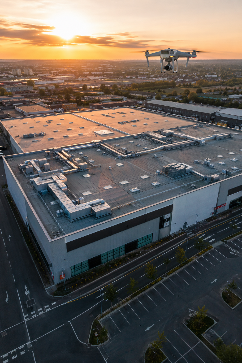
Imagine getting a full picture of your commercial roof in under an hour. No scaffolding. No disruption. Just clear, actionable data from the sky. That’s what a drone roof survey delivers. In this guide, we’ll walk through how drone surveys work, why they’re safer and cheaper than traditional methods, and what to look for in a professional provider. Whether you’re a facilities manager, building surveyor, or property owner, you’ll learn how to use drone technology to protect your assets and cut costs.
Table of Contents
- Why Choose a Drone Roof Survey for Commercial Buildings?
- How a Drone Roof Survey Works: From Flight Planning to Reporting
- Thermal Imaging and Solar PV Thermography in Drone Roof Surveys
- Compliance and Certification: CAA Regulations and IEC 62446
- Data Processing and Actionable Reporting
- Frequently Asked Questions
- Conclusion
Why Choose a Drone Roof Survey for Commercial Buildings?
 Regenerate
Traditional roof inspections are slow, expensive, and risky. Workers have to climb ladders, walk on slippery surfaces, and set up scaffolding. In the UK, falls from height still cause nearly 30% of workplace fatalities, according to the Health and Safety Executive. That’s a risk no property manager should take lightly.
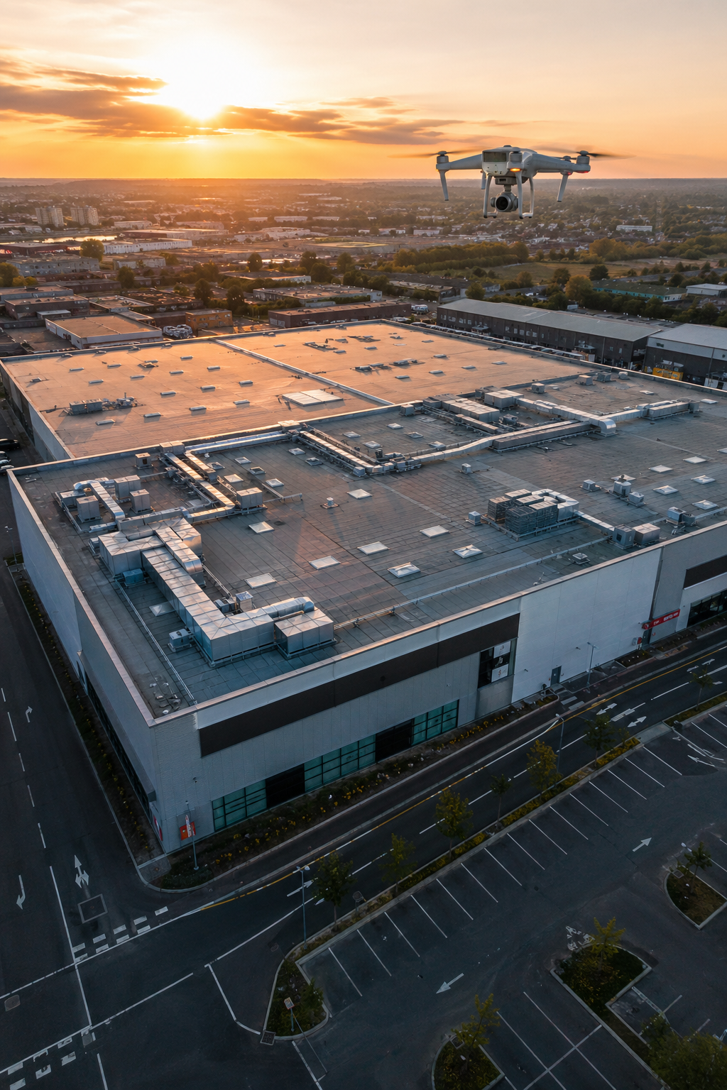
A drone roof survey changes everything. Our drones carry high-resolution cameras and thermal sensors that capture every inch of your roof from the ground. We can inspect hard-to-reach areas like chimneys, skylights, and roof edges without anyone setting foot on the roof. The whole process takes less than an hour for most commercial properties.
“The best time to inspect a commercial roof is before a leak costs you thousands.”
Cost savings are huge. Scaffolding for a typical commercial building can run into tens of thousands of pounds. A drone survey costs a fraction of that. You also skip the weeks of waiting for scaffolding to go up and come down. No disruption to your business operations. Your warehouse keeps shipping, your office keeps running, your retail space stays open.
30%of workplace fatalities in the UK involve falls from height , a risk drone surveys eliminate
And the data is better. Drones capture the entire roof from multiple angles. We create 3D models, orthomosaic maps, and detailed defect reports. That’s far more than a person walking around with a clipboard. You get sub-centimetre accuracy and thermal imagery that reveals hidden moisture and heat loss. Industry research confirms drone surveys cut field time by 60-80% while matching traditional accuracy.
Key Takeaway: Drone roof surveys are safer, faster, cheaper, and more detailed than traditional methods , essential for commercial asset management.
Bottom line:Drone roof surveys save money, reduce risk, and deliver better data than any traditional inspection method.
How a Drone Roof Survey Works: From Flight Planning to Reporting
 Regenerate
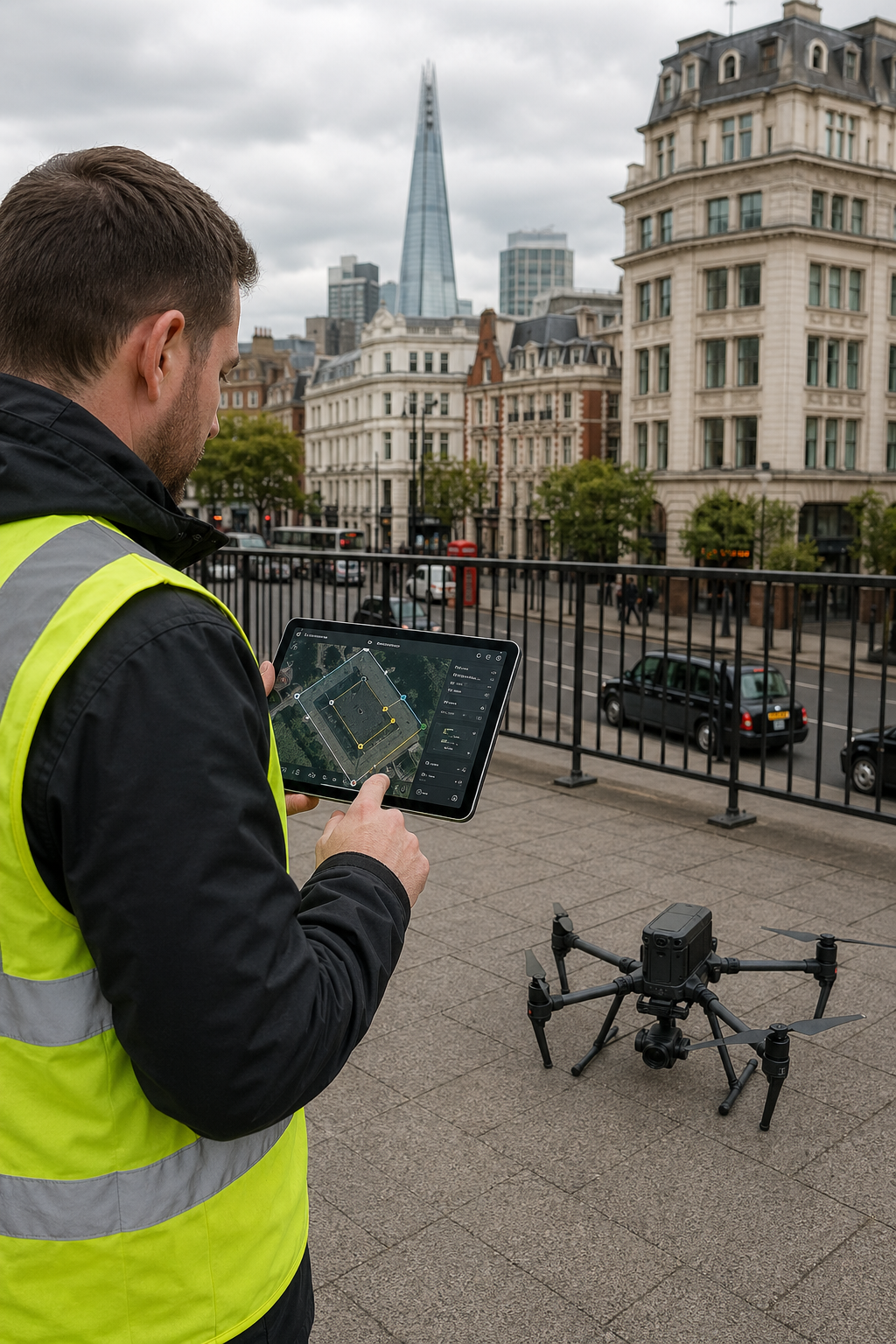
A professional drone roof survey follows a clear, repeatable process. It’s not just flying a camera around. Here’s how we do it at Visual Perspectives.
Step 1: Pre-Flight Planning
We start with a conversation. You tell us what you need , a general condition report, a detailed defect analysis, or thermal imaging for solar panels. We then plan the flight path, choose the right sensor (high-res RGB, thermal, or both), and set ground control points (GCPs) for sub-centimetre accuracy. We check airspace regulations with the Civil Aviation Authority (CAA) to ensure full compliance.
Pro Tip: Always ask your drone operator about their pre-flight checks. A good operator will walk you through their planning process , including CAA permissions and insurance.
Step 2: On-Site Data Capture
On the day, we arrive, set up, and fly. For most commercial roofs, the flight takes 30-60 minutes. We capture overlapping images with 80% forward overlap and 70% sidelap , essential for accurate 3D reconstruction. The drone operates autonomously but is always under the pilot’s control. We also capture thermal images in the evening if you need moisture detection, as wet areas cool more slowly.
Modern drone surveying workflows can achieve planimetric RMSE of 0.89cm and GSD of 3cm/pixel at 100m altitude, proving that high resolution doesn’t require ultra-low flights.
Step 3: Data Processing
Back in the office, we process the raw data. Using photogrammetry software, we stitch thousands of images into orthomosaics, 3D models, and point clouds. We also analyse thermal images to find moisture, insulation gaps, and solar panel defects. The result is a complete report with annotated photos, heat maps, and measurements you can act on.
Step 4: Actionable Reporting
You receive a clear, jargon-free report. It highlights defects, shows their location, and gives recommendations. Reports include RGB images, thermal overlays, and 3D models accessible online. No more sorting through hundreds of raw photos , we deliver answers.
Key Takeaway: A complete drone roof survey requires careful planning, professional execution, and thorough post-processing , skipping any step reduces quality.
Bottom line:The process is fast, targeted, and produces reports that save you time and money on maintenance decisions.
Thermal Imaging and Solar PV Thermography in Drone Roof Surveys
Thermal imaging is a game-changer for commercial roof surveys. It reveals problems you can’t see with the naked eye: trapped moisture, failing insulation, hidden leaks, and electrical faults in solar panels. By detecting temperature differences as small as 0.05°C, we can pinpoint issues before they cause major damage.
How Thermal Imaging Works
All objects emit infrared radiation. A thermal camera measures this radiation and creates a temperature map. Wet insulation holds heat differently than dry insulation. A solar panel with a cracked cell will heat up more than its neighbours. These patterns show up clearly on the thermal image, allowing us to locate defects with high precision.
Pro Tip: For best results, schedule thermal drone surveys in the evening after a sunny day. Wet areas retain heat and show up clearly against cool dry areas. This is called ‘thermal lag’ and is key for moisture detection.
Solar PV Thermography
Commercial rooftops often host solar PV arrays. Drones with thermal cameras can inspect these panels quickly and safely. We capture images that reveal hotspots, diode failures, PID (Potential Induced Degradation), and cell cracks , all without shutting down the system. Our reports comply with IEC 62446-3:2017, the international standard for PV system thermography. This standard specifies environmental conditions (irradiance >600 W/m², wind <5 m/s) and geometric resolution (minimum 5×5 pixels per cell) for accurate results.
5x5pixels per cell minimum required by IEC 62446-3 for reliable solar panel defect detection
Thermal imaging also helps with building energy efficiency. We can detect heat loss through flat roofs, cold bridging, and missing insulation , supporting your decarbonisation goals. According to the UK government, improving building fabric can reduce heating costs by up to 25%.
“Thermal imaging lets you see the invisible , hidden moisture, failing insulation, and electrical faults , before they become emergencies.”
Key Takeaway: Drone thermal surveys detect hidden defects in roofs and solar panels, supporting proactive maintenance and energy efficiency.
Bottom line:Thermal imaging adds a critical layer to roof surveys, catching defects early and helping you avoid costly repairs and energy waste.
Compliance and Certification: CAA Regulations and IEC 62446
Not all drone operators are equal. In the UK, commercial drone inspections must comply with Civil Aviation Authority (CAA) regulations. This includes holding a Permission for Commercial Operations (PfCO) or an Operational Authorisation, having appropriate insurance, and following strict safety protocols. At Visual Perspectives, we hold £5,000,000 insurance and our pilots are CAA-compliant with 20 years of building inspection experience.
CAA Requirements
The CAA requires commercial operators to:
- Hold a valid Permission for Commercial Operations (PfCO) or Operational Authorisation.
- Maintain a safety case and operations manual.
- Fly within visual line of sight (VLOS) unless otherwise authorised.
- Ensure the drone is under 25kg and compliant with the Drone and Model Aircraft Code.
- Carry public liability insurance (minimum £1 million recommended).
Only CAA-approved operators can legally conduct commercial drone surveys in the UK , always verify credentials before hiring.
IEC 62446 for Solar PV Inspections
For solar panel thermography, the key standard is IEC 62446-3:2017. This standard covers:
- Environmental conditions:Minimum irradiance of 600 W/m², cloud-free skies, low wind speed.
- Resolution:Minimum 5×5 pixels per solar cell for thermal images.
- Reporting:Clear documentation of all anomalies with temperature data and recommendations.
Our thermographers hold ITC Level 1 and Level 2 certifications in Thermography, ensuring we meet these stringent requirements. We deliver IEC-compliant reports that are accepted by insurers, warranty providers, and engineering consultants.
Pro Tip: When commissioning a drone roof survey for solar panels, ask specifically for IEC 62446 compliance. Many operators claim thermal capability but don’t follow the standard , substandard data can void warranties.
Key Takeaway: Always choose a CAA-approved, insured operator with thermography certification to ensure your report is legally valid and technically sound.
Bottom line:Compliance with CAA and IEC 62446 is non-negotiable for professional, trustworthy drone roof surveys.
Data Processing and Actionable Reporting
Capturing images is only half the job. The real value comes from processing that data into insights you can use. At Visual Perspectives, we turn raw drone footage into clear, actionable reports.
From Raw Data to Intelligent Outputs
We use advanced photogrammetry software to create:
- Orthomosaic maps:High-resolution, georeferenced top-down views of your roof.
- 3D models:Digital twins you can measure, annotate, and share.
- Thermal overlays:Temperature maps showing moisture, insulation gaps, and solar panel faults.
- Defect reports:Annotated images with severity ratings and repair priorities.
All data is processed with sub-centimetre accuracy. We use ground control points (GCPs) to georeference outputs, ensuring measurements are precise. This is critical for insurance claims, contractor quotes, and capital planning.
Pro Tip: Ask your operator how they handle data security. We store all data on encrypted servers and provide you with a secure online portal to access your reports anytime.
Reporting Formats
We deliver reports in multiple formats to suit your workflow:
- PDF reports with embedded images and annotations.
- Online interactive viewers for 3D models and orthomosaics.
- CAD-ready files (DWG, DXF) for design teams.
- GIS-compatible GeoTIFFs for integration with asset management systems.
Our reports are designed to be shared with stakeholders: insurers, contractors, building surveyors, and finance teams. They provide the evidence you need to make decisions fast.
Modern roof inspection software platforms enable encrypted data processing with SOC 2 and ISO 27001 certifications, ensuring your sensitive building data remains protected.
81%precision for deep learning crack detection in drone roof surveys , AI-assisted defect identification is becoming standard
Key Takeaway: Actionable reporting turns raw data into decisions , ensuring your investment in a drone survey delivers measurable ROI.
Bottom line:Professional data processing and clear reporting are essential to realise the full benefits of a drone roof survey.
Ready to schedule your drone roof survey?Contact Visual Perspectives today for a free consultation. We’ll discuss your needs, provide a clear quote, and deliver a complete report quickly, precise, and detailed. Learn more about our services.
Frequently Asked Questions
What is a drone roof survey?
A drone roof survey uses an unmanned aerial vehicle (UAV) equipped with high-resolution cameras and thermal sensors to inspect a roof from the air. It captures detailed images and temperature data, which are processed into reports, 3D models, and defect maps. The drone operator stays on the ground, making it safer than traditional methods. Commercial surveys in the UK require CAA approval and insurance.
How much does a drone roof survey cost for a commercial building?
For commercial properties, costs typically range from £400 to £1,200 depending on roof area, complexity, and required deliverables. A standard survey includes high-res RGB images and a report. Adding thermal imaging for moisture or solar panel inspection may increase the price. Compared to scaffolding (often £10,000+ for commercial), a drone survey is highly cost-effective. Always get a detailed quote upfront.
How long does a drone roof survey take?
On-site capture usually takes 30 to 60 minutes for most commercial roofs. After flight, processing the data into a full report takes 2 to 5 business days. Urgent (next-day) reports are often available for an additional fee. The total time from booking to delivery is typically under a week, which is much faster than traditional methods requiring scaffolding setup and manual inspection.
Is a drone roof survey accurate enough for insurance claims?
Yes. Professional drone surveys achieve sub-centimetre accuracy when using ground control points (GCPs). This level of precision is accepted by insurers and loss adjusters for claims assessment. The detailed imagery and measurements support accurate repair estimates and reduce disputes. Always use a CAA-approved operator with insurance and a proven track record in insurance claims work.
Can drone roof surveys detect leaks and moisture?
Absolutely. With thermal imaging, drones can detect hidden moisture trapped in roofing materials. Wet insulation holds heat differently than dry insulation, creating temperature patterns that the thermal camera captures. This allows us to locate leaks, ponding water, and insulation damage without any physical contact. Evening flights after sunny days give the best results for moisture detection.
What qualifications should a drone survey operator have?
In the UK, operators must hold a CAA Permission for Commercial Operations (PfCO) or Operational Authorisation. For thermal surveys, look for ITC Level 1 or 2 certification in Thermography. For solar panel inspections, ask about IEC 62446 compliance. Insurance of at least £5 million is recommended. At Visual Perspectives, we meet all these standards and have 20 years of building inspection experience.
How do I prepare my commercial property for a drone survey?
Minimal preparation is needed. Ensure the roof area is clear of loose debris if possible. Notify occupants about the drone activity , it’s low noise and brief. Remove any temporary structures or vehicles that might block the drone’s view. The operator will handle all flight planning and safety checks. There’s no need for ladders, scaffolding, or roof access.
Will a drone survey work on flat roofs?
Yes, drone surveys work exceptionally well on flat roofs. Drones capture high-oblique and nadir (top-down) images that cover the entire surface. Thermal imaging is particularly effective on flat roofs for finding ponding water, wet insulation, and membrane defects. The 3D models created from the data also help measure drainage slopes and standing water areas , critical for flat roof maintenance.
Conclusion
Drone roof surveys have transformed commercial property maintenance. They’re safer, faster, cheaper, and more detailed than traditional methods. At Visual Perspectives, we’ve been using this technology since 2015, delivering thousands of surveys for building surveyors, asset managers, and solar installers across the UK.
The key is to choose a certified, experienced operator. Look for CAA approval, adequate insurance, and proven expertise in thermal imaging and reporting. Our team holds ITC Thermography certifications and follows IEC 62446 for solar inspections. We process data into clear, actionable reports that help you protect your assets, save money, and meet your net-zero targets.
Don’t wait for a leak to discover your roof’s problems. A routine drone survey gives you the insights you need to plan maintenance, budget accurately, and avoid emergency repairs. Whether you manage a single building or a portfolio, we can help. Contact us today for a free consultation and see what the naked eye can’t see.
Bottom line:A professional drone roof survey is an investment that pays for itself many times over through reduced risk, lower costs, and better decision-making.

