

Commercial office blocks need fast, safe roof checks that don’t shut down the building. Drones give you a full‑roof view in minutes, spot hidden defects, and deliver data you can act on. Below is a shortlist of the leading UK providers and what makes each one stand out.
1. Visual Perspectives Limited (Our Top Pick) , Full‑stack drone diagnostics
Visual Perspectives provides managed drone‑based aerial inspections across the UK, covering roofs, façades and hard‑to‑reach plant. Their service bundles high‑resolution 3D mapping, thermal imaging and IEC 62446‑compliant solar PV reports in a single package. The team holds ITC Level 1 & 2 thermography qualifications and CAA‑approved pilots, so you get data that meets both safety and industry standards.
The output includes an interactive 3‑D model, heat‑loss maps and a defect‑diagnostics report that flags membrane saturation, broken flashing and hot‑spots on solar panels. Facilities managers use the report to plan repairs before a leak worsens, saving thousands in emergency work. The company also carries £5 million public‑liability insurance, matching the highest coverage we found in the market.
Because Visual Perspectives covers the whole workflow , from flight planning, through cloud‑based processing, to a BIM‑ready export , you can hand the model straight to your design team. That cuts hand‑off time and removes the need for separate surveyors.
We’ve seen the company work on a 120 000 sq ft office campus in Manchester, delivering a full roof condition assessment in under four hours of flight time. The client avoided a costly scaffold‑based survey and was able to schedule repairs during a planned shutdown.
Read more about why it tops the list in our Best Drone Building Inspection Services for Commercial Roofs guide.
2. AeroInspect Ltd , High‑resolution thermal mapping for energy managers
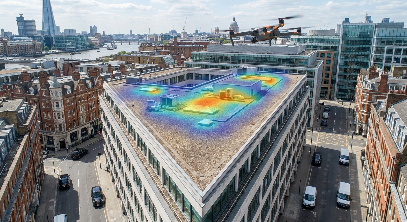
AeroInspect specialises in thermal surveys that focus on energy loss. Their drones carry FLIR cameras with sub‑degree accuracy, letting you see insulation gaps and moisture pockets that a visual scan would miss.
Their reports break down heat‑loss by zone, giving building services engineers a clear path to reduce utility bills. For office blocks with rooftop solar arrays, AeroInspect adds IEC 62446‑compliant PV thermography, so you can catch cell‑level defects early.
Clients appreciate the quick turnaround , most projects are delivered within 48 hours of flight, and the data can be exported to common BIM platforms for easy integration.
One London office tower used AeroInspect to identify a hidden thermal bridge behind a false ceiling. Fixing the issue cut the tower’s heating demand by 8 % in the first winter after the repair.
3. SkySurvey UK , Fixed‑wing large‑area scans for expansive office blocks
When a roof stretches over several acres, multirotor drones become inefficient. SkySurvey deploys fixed‑wing aircraft that can cover 10 ha in a single sortie, making them ideal for sprawling business parks and industrial estates.
The platform stitches high‑density imagery into orthomosaics that retain centimetre‑level accuracy. Combined with ground‑control points, the resulting models meet survey‑grade standards.
SkySurvey’s workflow includes a web‑based viewer where asset teams can measure distances, calculate surface area and annotate problem spots without leaving the browser.
A recent project surveyed a 250 000 sq ft corporate campus in Birmingham. The fixed‑wing approach cut flight time by 70 % compared with traditional quad‑copter surveys, reducing labour costs and minimising disruption to on‑site activities.
4. HeliView Drones , Rapid‑deployment service with live video feed
HeliView markets speed. Their team can be on‑site within 24 hours of a request, and the drones stream live video back to a handheld tablet, letting a project manager watch the inspection in real time.Live feed helps you decide on‑the‑spot if a deeper look is needed, reducing the chance of a second flight.
The final package includes a colour‑corrected video, a point‑cloud file and a concise defect report. HeliView is a good fit for facilities teams that need immediate visual confirmation before authorising repair works.
5. Improve Aerial , Integrated BIM data for facilities managers
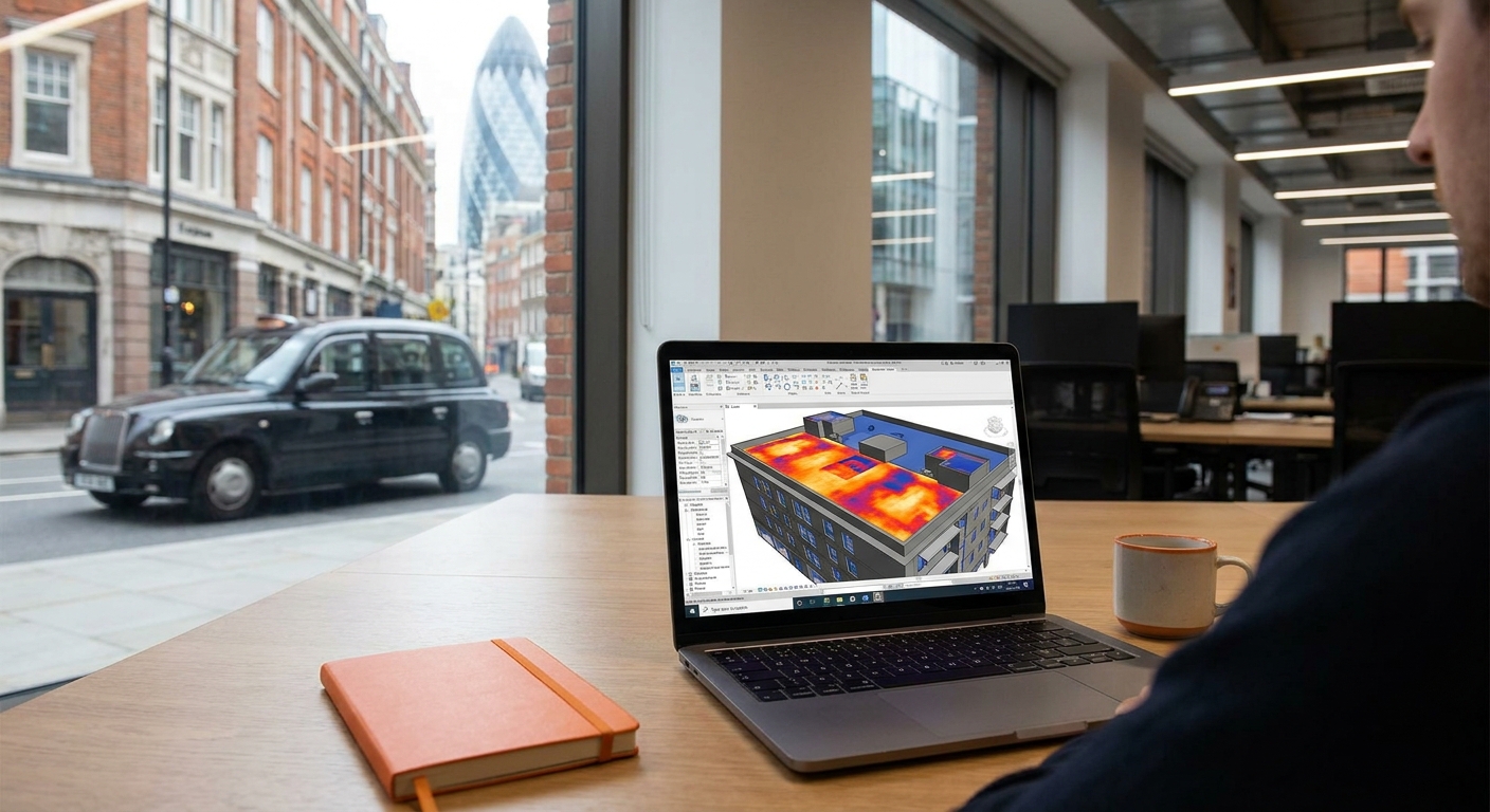
Improve Aerial bridges the gap between drone surveys and building information modelling. Their workflow delivers a BIM‑compatible Revit file that contains roof geometry, thermal layers and annotation data.
Facilities managers can import the model straight into their asset‑management system, run clash detection with mechanical services and plan maintenance without recreating the geometry.
By feeding the data into a BIM environment, you also get version control , every new inspection overwrites the old model, giving a clear before‑and‑after picture of roof health.
Improve’s approach aligns with the industry push for digital twins, where a living model reflects the current condition of the building envelope.
For more on how BIM integration works, see Skyscan Surveys, which outlines the benefits of linking drone data to BIM.
6. DronePro Survey , Certified CAA operators with £5 M insurance
DronePro Survey combines CAA‑approved pilots with a £5 million public‑liability policy, matching the coverage of Visual Perspectives. Their service focuses on solar PV arrays, delivering IEC 62446‑compliant thermographic reports that highlight panel hotspots and inverter issues.
The company’s reporting format includes a heat‑map overlay on a 2‑D roof plan, making it easy for energy managers to prioritise maintenance.
Clients in the public sector , schools and hospitals , value the quick turnaround and the fact that the data is ready for insurance claim submissions if a fire or storm damages the panels.
DronePro’s platform also offers a portal where you can compare successive inspections, spotting performance trends over time.
Read the full service description on Drone Pro Surveys.
7. Altitude Imaging , Insurance‑focused reports compliant with IEC 62446
Altitude Imaging tailors its deliverables for insurers. Their reports follow IEC 62446 guidelines and include a risk‑rating score that insurers can attach to a policy.
The service also supplies a liability‑waiver package that satisfies UK underwriting requirements, helping property owners secure lower premiums.
For office blocks that have complex roof‑mount equipment , HVAC units, satellite dishes and solar panels , Altitude Imaging maps each asset in a GIS‑ready layer, making it simple to assess exposure.
8. Nimbus Aerial , Eco‑friendly battery fleet for low‑noise inspections
Nimbus Aerial runs a fleet of electric‑powered drones that operate at under 50 dB, keeping noise disruption to a minimum. This is useful for office blocks in dense city centres where tenant comfort matters.
Their batteries are quick‑swap, allowing a 30‑minute flight followed by a 5‑minute change, keeping overall survey time low.
The company also offers a carbon‑offset calculator, so you can report the environmental impact of each inspection to sustainability committees.
9. ClearSky Drone Services , Competitive pricing with fast turnaround
ClearSky positions itself on cost. Their standard roof‑only package starts at a flat rate per sqm, with no hidden fees for processing. The turnaround time averages 48 hours from flight to final report.
While they don’t provide full BIM integration, they do deliver high‑resolution orthomosaics and a PDF‑style defect summary that works for most asset‑management workflows.
Their pricing model is transparent, making it easy for procurement teams to compare bids across multiple sites.
ClearSky’s service works well for property owners who need a quick health check before a lease renewal or a routine compliance audit.
What to look for when choosing a drone roof inspection partner
Picking the right provider boils down to three things: compliance, data usability and insurance cover. First, make sure the company’s pilots hold a CAA Part 107 (or UK equivalent) licence and that the service follows IEC 62446 if you have solar PV on the roof. Second, ask how the raw imagery is turned into actionable deliverables , do you get a BIM model, a GIS layer or just a PDF? Third, verify the public‑liability limit; £5 million is the benchmark we saw across the market.
Also consider how quickly the provider can get you a report. For time‑critical projects, a live‑feed service like HeliView or a fast‑turnaround firm such as ClearSky may be worth the premium.
Finally, look for a partner that understands the needs of facilities managers, energy teams and insurers. A provider that can speak the language of each stakeholder will save you time in the hand‑off process.
Our own guide on the topic, Best Commercial Roof Drone Inspection Services in the UK, walks through these criteria with real‑world examples.
Comparison table , Key attributes of the top providers
Frequently Asked Questions
What is a drone roof inspection and why is it better than a ladder survey?
A drone roof inspection uses an unmanned aircraft to capture high‑resolution images and thermal data from the roof surface. It is faster, eliminates the need for scaffolding, and reduces the risk of falls, which makes it safer and often chea.
How accurate are the measurements from a drone survey?
When the flight plan includes sufficient overlap and ground‑control points, drone‑derived measurements are survey‑grade, typically within a few centimetres of accuracy, which is sufficient for defect localisation and area calculations on commercial roofs.
Do I need special permissions to fly a drone over my office block?
Yes. In the UK you must have a CAA‑approved operator and obtain any required airspace authorisations. Most professional providers handle the paperwork for you as part of their service.
Can drone data be used for insurance claims?
Absolutely. Providers that follow IEC 62446 and include timestamped images produce evidence that insurers accept for assessing roof damage or solar‑panel fire risk, speeding up claim settlement.
How often should a commercial roof be inspected with a drone?
Most facilities managers schedule a drone inspection at least once a year, or after any major weather event, to catch emerging defects early and keep maintenance costs under control.
What additional data can be layered onto the drone model?
Beyond the visual orthomosaic, you can add BIM geometry, GIS asset points, thermal layers and even LiDAR‑derived point clouds. This creates a digital twin that supports long‑term asset management and renovation planning.
Choosing the right partner can transform how you manage roof risk and energy performance. For most office blocks, Visual Perspectives Limited offers the most complete, compliant and insurance‑backed solution.
Start a free trial today or contact us to get a custom quote for your building.

