A missed roof defect can become a claim, a delay, or a very expensive repair. A drone won’t replace a surveyor, but it can give you a safer view of high and fragile areas before problems grow. The best results come from a clear scope, the right sensor, lawful flight planning and a report that supports a decision.
Visual Perspectives Limited uses this process for roof, façade and wider building inspections across the UK. Here are the five steps we use to make each survey quickly, precise, and detailed.
Step 1: Define the Inspection Scope and Property Risks
Start by writing down what the drone property inspection must answer. “Inspect the roof” is too vague for a useful brief. State the building areas, the suspected defects and the decision that will follow.
For a school estate, the scope might cover roof coverings, gutters, flashings, parapets and plant screens. For an NHS estate, you may also need façades, high-level windows, cladding joints and service yards. A commercial roof inspection may focus on ponding water, membrane blisters, failed seals or damage after a storm.
Ask the building team for drawings, past reports and known leak locations. Mark these on a simple site plan. Include roof materials because slate, metal, fragile tiles and older membranes need different inspection methods. Note nearby trees, cables, cranes and areas where people may gather.
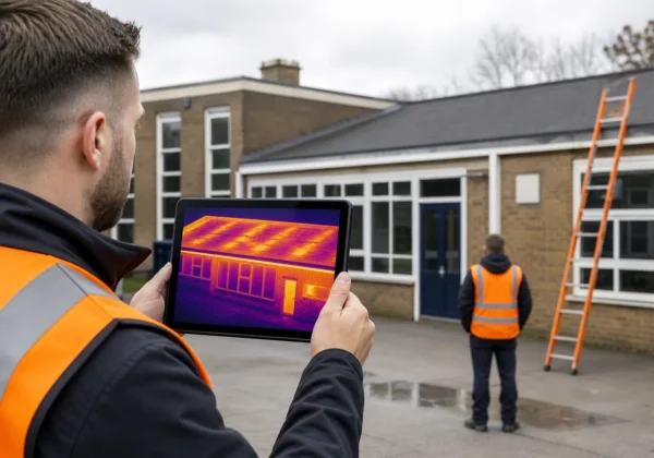
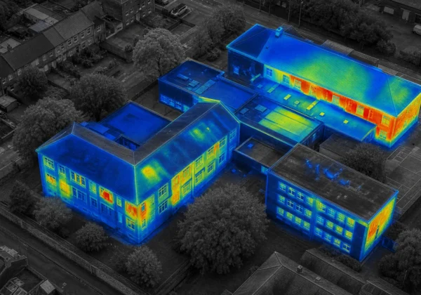
A thermal survey needs a separate question. Do you want to find heat loss, trapped moisture or an electrical fault? Thermal imaging shows temperature patterns. It doesn’t prove the cause on its own. A warm patch may come from moisture, insulation gaps, reflected heat or a change in the roof structure.
Drones can gather evidence in places that are unsafe or costly to reach by conventional means. That evidence is useful only when the flight is planned around a defined inspection question.
Use this commercial drone roof inspection guide when your brief needs more detail on roof access, image capture and reporting outputs.
Set a clear boundary around the job. A drone can show a slipped tile or damaged sealant, but it can’t test the strength of a structure or confirm hidden decay inside a wall. Flag any finding that needs a close visual check, a moisture meter or an intrusive survey.
Step 2: Plan Access, CAA Compliance and Liability Controls
Plan the flight as a controlled site activity, not a quick camera job. UK drone rules depend on the aircraft, its weight, the location, nearby people and the way you intend to fly.
Before booking, ask the operator to explain the legal basis for the proposed flight. Some lower-risk work may fit the Open Category. A more complex operation may fall into the Specific Category and need a CAA Operational Authorisation. Payment alone does not decide the category.
For current UK requirements, check the relevant requirements. Check the aircraft registration position too. An Operator ID may be needed because of the aircraft’s weight, camera or class. The pilot may also need a Flyer ID and extra competency for the planned operation.
Open Category rules do not remove airspace restrictions. A property near an airport, airfield or other restricted zone may need separate permission. Ask who will check the airspace and who will obtain permission before the site visit.
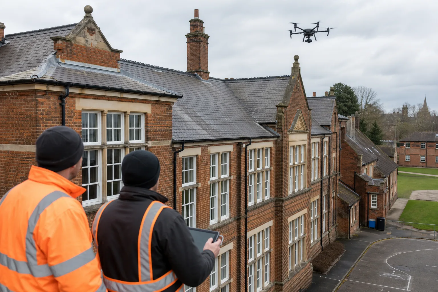
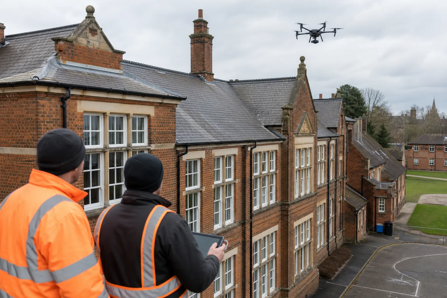
Next, agree the ground plan. Choose a take-off and landing area away from doors, roads and public paths. Put barriers or cones in place where needed. Tell staff when the flight will happen and keep people clear of the operating area. A visual observer can watch for hazards while the pilot watches the aircraft and its data.
For paid work, check third-party insurance. Recreational cover may not meet the needs of a commercial inspection. Ask for the policy scope, its limits and any exclusions that affect work near occupied buildings.
Privacy needs a place in the method statement. Frame the camera towards the building, avoid unnecessary views into neighbouring homes and store only the footage needed for the inspection. Record weather limits, emergency actions and what happens if the drone loses its link.
Visual Perspectives Limited is a CAA-authorised drone operator with ITC Level 1 and Level 2 thermography qualifications. We set out the aircraft, permissions, risk controls and deliverables before attending, so the property team knows what will happen on site. You’ll be in good hands.
Step 3: Select the Drone and Sensor Package for the Building
Match the drone property inspection kit to the defect, not the other way round. A small visual check may need only a high-resolution camera. A roof moisture survey needs thermal capture and a pilot who can interpret the result.
For most building work, assess four points:
- Visual resolution: Use sharp stills for cracks, fixings, sealant and roof coverings.
- Zoom: A zoom lens lets the pilot inspect details while keeping a safe stand-off distance.
- Thermal performance: A 640 by 512 thermal sensor is widely treated as a useful professional baseline, but height and target size still affect the result.
- Weather protection: Check the aircraft rating and the actual flight limits. A weather-rated drone still needs safe wind and rain conditions.
Thermal imaging detects emitted infrared energy rather than reflected visible light. It can show heat loss, cold bridging, trapped moisture or an abnormal electrical area that the naked eye can’t see. It does not identify the cause without context. The operator must consider surface finish, sun, wind, reflections and the building’s use.
Ask whether the thermal camera is radiometric. A radiometric image retains temperature data at each point. That gives the analyst more to work with than a coloured heat picture alone. It still doesn’t turn a drone survey into a laboratory test.
For mapping, ask for the required output before the flight. An orthomosaic is a stitched, map-like image. A point cloud is a set of measured points. A 3D model can help a surveyor review roof geometry or plan later work. Don’t pay for a model if the only decision is whether a gutter is blocked.
Portable drones suit short jobs across several sites. Larger modular systems may suit repeat asset monitoring where the sensor package changes between missions. Check battery planning, obstacle avoidance, data storage and the operator’s past work on similar buildings.
| Inspection need | Useful package | Watch for |
|---|---|---|
| Roof condition check | High-resolution RGB camera with zoom | Small defects may need a closer follow-up |
| Heat loss or moisture review | Radiometric thermal camera plus visual camera | Weather and surface conditions can affect readings |
| Roof measurement | Photogrammetry workflow with ground reference | Image overlap and control points affect accuracy |
| Fragile or historic façade | Zoom camera with careful stand-off planning | Visual evidence may not prove hidden structural damage |
That video shows a useful point for inspectors: setup and ground control matter as much as the aircraft. A flight that gets close to a roof but misses a gutter junction has not done its job.
Visual Perspectives Limited combines high-resolution aerial imagery with 3D mapping and advanced thermal imaging when the brief calls for it. We choose the sensor package after reviewing the property and the decision you need to make.
Step 4: Capture, Process and Secure Inspection Data
A good capture plan turns a drone property inspection into evidence that other people can use. Set the flight route before take-off, then adapt it only when the pilot records the reason.
Begin with a pre-flight check. Confirm batteries, propellers, firmware, weather, airspace and the landing zone. Record the date, time, aircraft and sensor. Take a few overview images before moving to defect areas. This gives each close image a clear location.
For mapping, use a planned grid with enough image overlap. Keep the aircraft height and camera angle consistent across the site where possible. For façades, capture each elevation in a repeatable pattern. Include reference points such as corners, doors or plant units so another person can find the same area later.
Thermal capture needs extra care. The roof must have enough temperature contrast for the question being asked. Avoid treating a single bright patch as proof of moisture. Compare it with adjacent areas and pair it with a visual image.
After the flight, preserve the original files. Keep a read-only master copy. Work from a duplicate during processing. Use clear file names with the site, elevation, date and image number. If cloud storage is used, confirm who can access it, how long it is retained and whether data is encrypted in transit and at rest.
Processing may produce an orthomosaic, 3D model, point cloud or thermal map. Automated defect tools can help sort large datasets, but a qualified person must review the finding. AI may flag a crack-like mark. It may also flag a shadow, dirt or a joint.
A useful report links each defect to a location. Include an annotated image, the likely issue, confidence level and recommended next action. Give urgent risks a clear priority. State what the drone could not inspect, such as a concealed void or an area blocked by trees.
Some asset-monitoring systems use encrypted storage and time-stamped archives so teams can compare later surveys against a baseline. For a single school roof, a well-structured folder and PDF may be enough. For a large estate, agree the data format with the asset management team first.
Use the commercial drone roof survey resource when you need to connect image capture with measurements, thermal review and defect reporting.
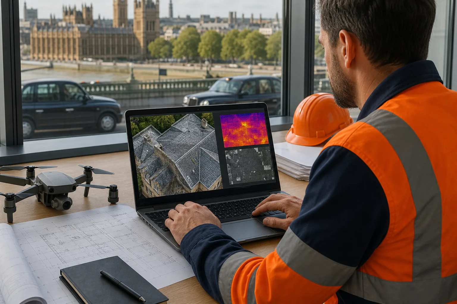
Step 5: Interpret Findings, Calculate ROI and Prioritise Repairs
Interpret the findings against the building’s risk, use and repair plan. A drone property inspection earns its cost when it changes a decision, not when it produces a large image folder.
Start by sorting defects into three action groups:
- Immediate: A safety issue, active water entry or damage that could worsen quickly.
- Planned: A defect that belongs in the next maintenance cycle.
- Monitor: A change that needs a repeat image before repair is approved.
Then compare the inspection cost with the avoided access and repair risk. Include scaffolding, cherry-picker hire, staff time, traffic control and disruption. Add the likely cost of delay where a small defect could damage insulation, finishes or occupied space.
UK survey prices vary with site size, airspace, sensor choice and the final deliverable. A quick visual roof check may cost a few hundred pounds. Thermal work, 3D mapping and complex access can move the quote into the thousands. Compare like with like. An image folder is not the same output as a measured model with annotated defects.
For a public estate, place the findings on a capital plan. A school may use the report to group roof repairs during a holiday shutdown. An NHS estate team may use it to rank work across several buildings. A facilities manager can share the same dated evidence with a contractor, insurer or surveyor.
Repeat surveys only where the risk justifies them. Use the same viewpoints and naming system so change is easy to spot. This turns one inspection into a condition record that supports asset management and decarbonisation work.
Visual Perspectives Limited provides managed aerial inspections nationwide, with reports aimed at surveyors, asset managers and facilities teams. We’ll help you separate urgent defects from items that can wait, so the next spend has a clear reason behind it.
Frequently Asked Questions
What is a drone property inspection?
A drone property inspection uses an unmanned aircraft to capture visual, thermal or mapping data from a building. The pilot can review roofs, façades, gutters, chimneys and other high areas while remaining on the ground. The final output may include photographs, video, a 3D model, a thermal map or a written condition report.
Do I need CAA permission for a commercial drone inspection?
You may need CAA permission, but paid work alone does not decide the requirement. The correct category depends on the drone, location, people nearby and flight plan. Some low-risk work may fit the Open Category. More complex work may need a Specific Category Operational Authorisation. Ask the operator to explain the legal basis for your exact flight.
Can a drone detect roof leaks?
A drone can help locate signs linked to roof leaks, such as staining, damaged coverings or unusual thermal patterns. Thermal imaging may show trapped moisture or heat differences, but it doesn’t prove the water’s path. A follow-up inspection may still need close access, moisture testing or an opening-up survey before repair.
What sensor is best for a building inspection?
The best sensor depends on the inspection question. A high-resolution visual camera suits cracks, roof coverings and façade details. A radiometric thermal camera helps assess heat loss, moisture patterns and hot electrical components. Photogrammetry suits measured roof plans and 3D models. Sensor resolution alone cannot fix poor flight height, weak image overlap or bad weather.
How much does a UK drone roof inspection cost?
A UK drone roof inspection may cost a few hundred pounds for a simple visual survey, while thermal imaging, mapping, difficult airspace or a large report can raise the fee into the thousands. Ask for a written scope that states the site, sensors, outputs, turnaround, travel, VAT and any permission work.
Does a drone inspection replace a building survey?
A drone inspection does not replace every building survey. It gives safe aerial evidence and can reduce the need for early work at height. It cannot feel a membrane, test structural strength or inspect concealed defects. Use the results to target follow-up work, then bring in a qualified surveyor or specialist where the finding needs hands-on testing.
Conclusion
Plan the inspection around a decision, then match the aircraft, sensor and report to that decision. For UK estates that need independent roof, façade or thermal evidence, Visual Perspectives Limited can provide a managed survey nationwide. Start by sending the site location, building type, known risks and required output for a written scope and quote.