
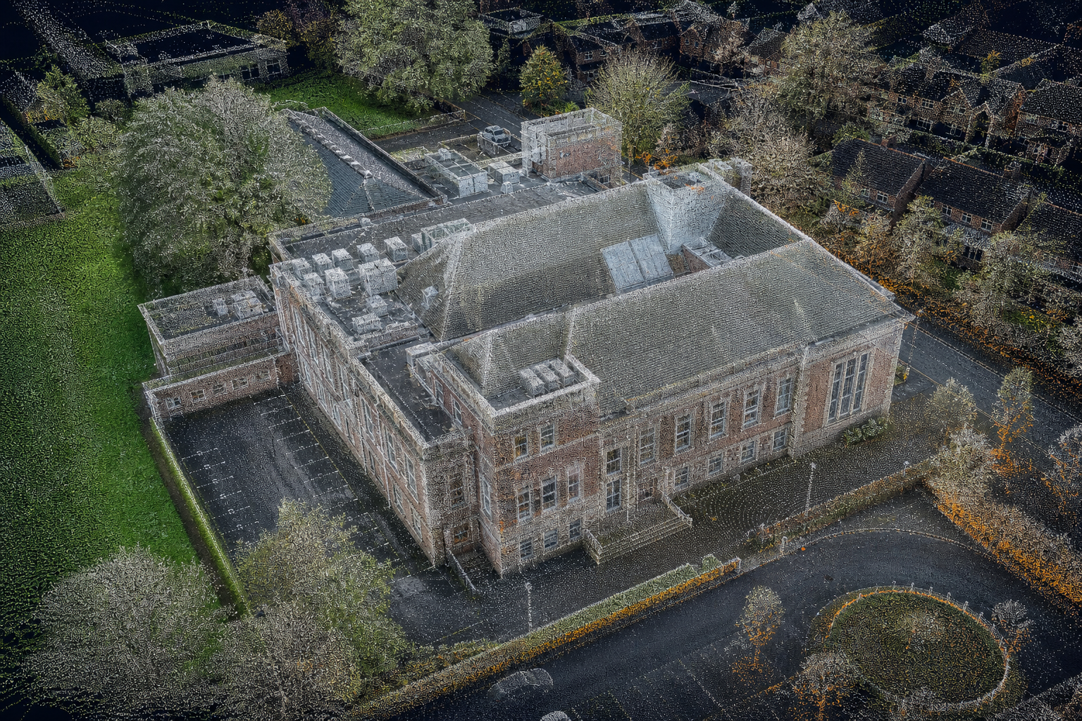
Need a true 3‑D picture of a building fast? A point cloud survey gives you that , and it also shows heat loss that the naked eye can’t see. Below we explain what it is, how it’s captured, what you get and how accurate it can be. Table of Contents What Is a Point Cloud […]
Blog / News
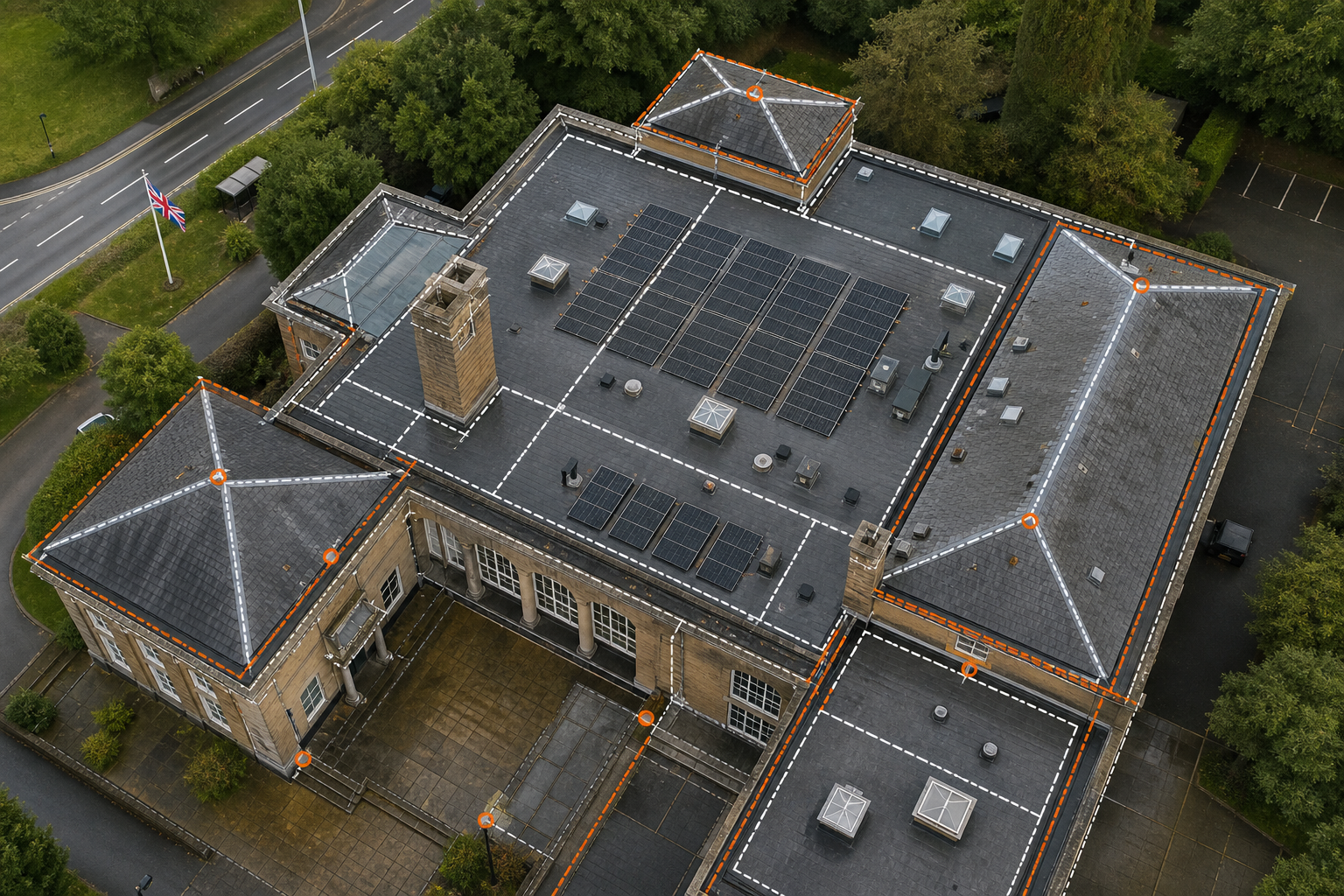
How to Plan a Non‑Intrusive Roof Inspection
Roof problems can show up out of nowhere , a damp patch after a storm or a cracked tile spotted from the street. A non‑intrusive roof inspection lets you spot those issues without ladders, scaffolding or disruption. Below is a step‑by‑step plan that works for schools, hospitals, housing estates and any public‑sector building. Table of […]
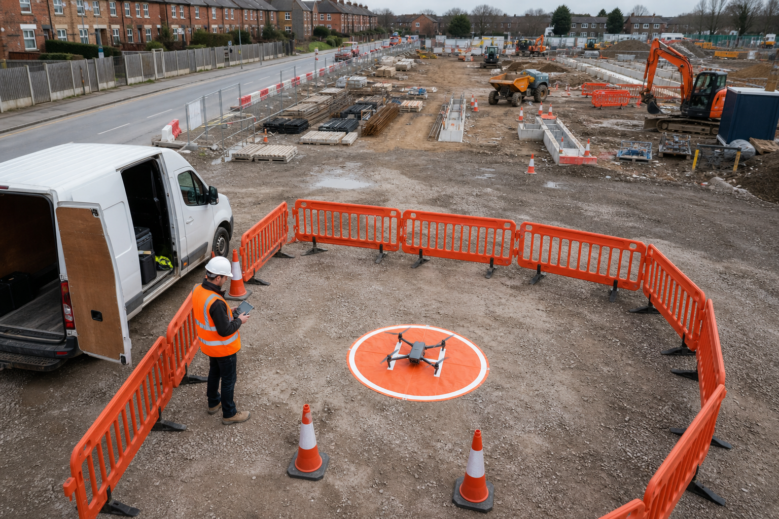
How to Plan a Drone Survey for Construction
Getting a drone survey right can cut weeks off a construction programme and stop costly re‑work. Below we walk through the exact steps you need to turn a raw flight into solid, actionable data. Table of Contents Step 1: Define the Construction Survey Objectives Step 2: Prepare the Site, Permissions and Flight Risk Assessment Step […]

Aerial Survey for Architects: A Practical Guide
Architects need clear, reliable data when they design or retrofit a building. An aerial survey gives you that data fast, safely, and with the detail you can trust. Below is a step‑by‑step guide that walks you through the whole process. Table of Contents Step 1: Define the Design Question and Survey Scope Step 2: Prepare […]
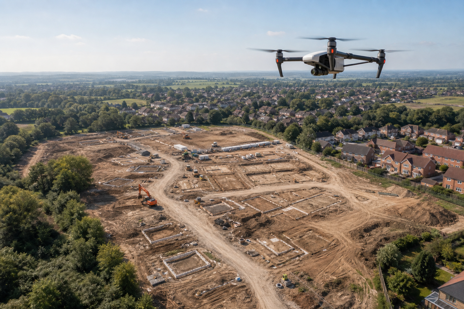
Drone Survey for Planning Permission: UK Guide
Planning officers need reliable site evidence, and a drone survey can give it fast. Below is a step‑by‑step guide that gets you the data they ask for, without wasting time or money. Table of Contents Step 1: Confirm What Planning Evidence Your Project Needs Step 2: Define the Survey Scope and Access Constraints Step 3: […]
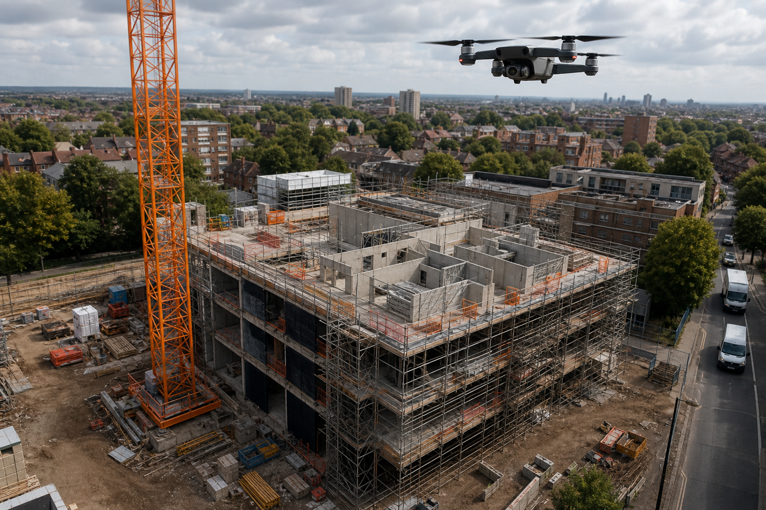
How to Run a 3D Building Survey for Planning
Need a reliable 3D building survey for planning a refurbishment, extension or new build? Follow these five steps and you’ll have a compliant, accurate model you can hand to architects, planners and asset managers. Table of Contents Step 1: Define the Planning Information You Need Step 2: Prepare the Site and Select the Survey Method […]
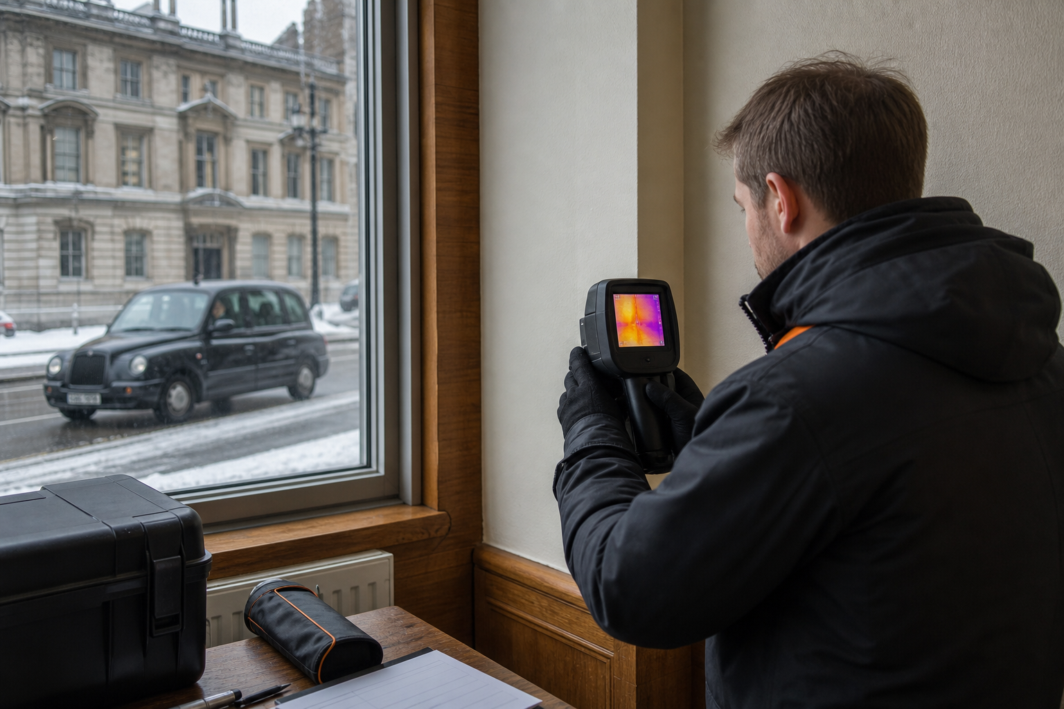
How to Use Cold Bridging Thermal Imaging
A thermal camera can show a cold bridge, but only when the survey conditions are right. Scan on a mild day and you may record colour changes rather than useful evidence. Use this five-step method to plan the scope, prepare the building, capture images, test likely causes and turn the results into a repair plan. […]
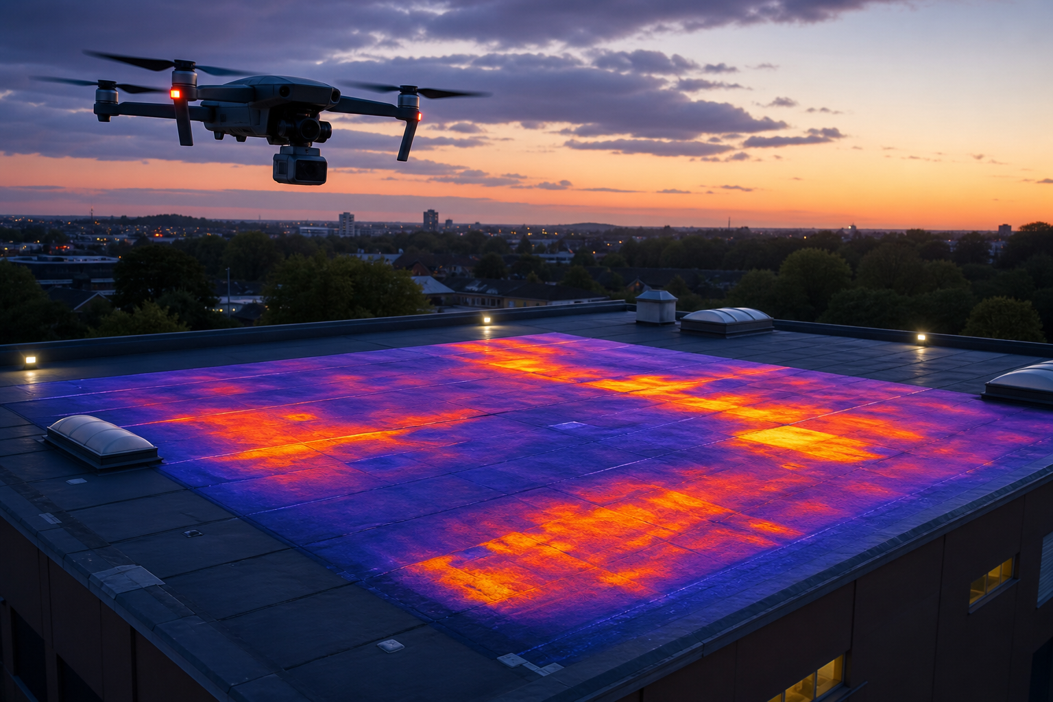
Thermal Camera Survey for Moisture: A How-To Guide
You’ve got a cold wall, a damp patch, or a roof that never feels dry. A thermal camera survey can turn that vague feeling into clear evidence. Follow these five steps and you’ll have a solid picture of where moisture is hiding, how to verify it, and what to do next. Table of Contents Step […]

Thermal Imaging Damp Detection: Step‑by‑Step Guide
Thermal imaging lets you see what the naked eye can’t see when it comes to hidden moisture. It’s fast, safe, and gives clear evidence for repairs. Below is a step‑by‑step guide that takes you from prep to a finished report. Table of Contents Step 1: Define the Damp Investigation and Prepare the Site Step 2: […]